Observation Date
2/23/2022
Observer Name
Craig Gordon
Region
Uintas
Location Name or Route
Upper Weber Canyon/Chalk Creek
Comments
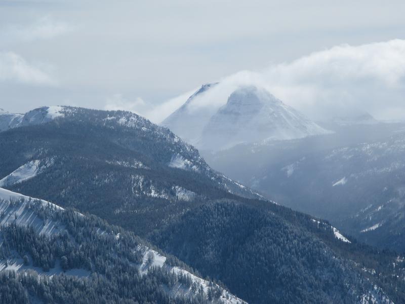
Clouds parted long enough for me to capture this image of an Everest-esque looking Reids Peak staring back at me.
Spent the past couple days stomping around Upper Weber/Chalk Creek in an attempt to get a 30,000' view of weak layer distribution. Even though old snow surfaces vary greatly it's really the same story snowpack-wise. The weakest snow I've found is on east, north, and northeast aspects, especially on mid and upper elevation wind sheltered slopes. Here's where it gets tricky... large swaths of upper elevation terrain facing the north half of the compass were blasted by the winds prior to our recent storms and weak snow distribution is spotty at best. The rubber hits the road mid slope where I'm finding bottomless NSF. Moving forward and into the weekend... once we see some settling and slab formation we're gonna see touchy avy conditions.
Today's Observed Danger Rating
Moderate
Tomorrows Estimated Danger Rating
Low


