Observation Date
2/10/2022
Observer Name
Staples
Region
Provo » Mt Nebo
Location Name or Route
Nebo NW
Comments
This period of dry weather has been quite remarkable.
In wind and sun sheltered terrain where there are no old ski tracks, and the riding is excellent. It's crazy how weak the surface snow is. There are 8-10 inches of very weak, and very looses facets that sluff easily.
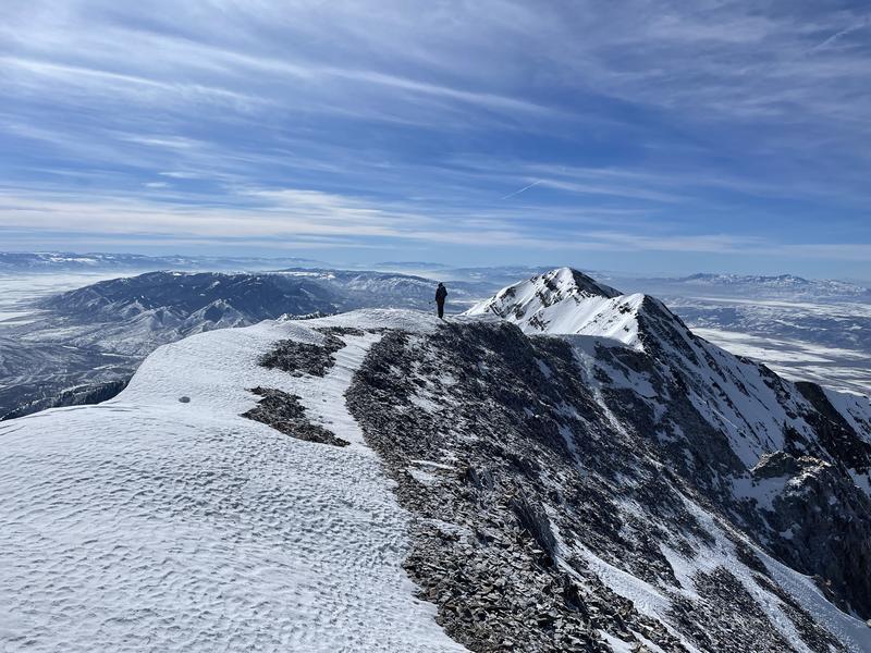
In northerly facing alpine terrain, the snow surface has been strongly affected by winds that have occurred during the last 4+ weeks. Generally there is a crust from wind and maybe some warm temps that is 1-2 inches (2-4 cm) thick. The crust varies a lot in hardness and how breakable/supportable it is. Below this crust is 8-10 inches of very weak facets. See the photo below. Below about 8000 feet, the snow was still good, but was getting a little warm and damp.
What I worry about when we get snow next week (fingers crossed) is that if we only get a small storm, it may not change the avalanche danger, but there will be ways to get in trouble and/or hurt. In wind sheltered terrain, new snow may be soft enough not to make widespread instability even though there is a widespread weak layer. In alpine terrain, wind should move the new snow around, in some places the wind drifts may be well bonded to the snow surface. In other places (booby traps), the slabs of wind drifted snow will be waiting for a person to trigger them.
If we get a much larger storm (again fingers crossed), instability will be widespread and the situtaion may be a little more straightforward. It will still be tricky becuase the snow surface is variable, but there are plenty of slopes with weak snow that will avalanche. It will be tricky because not all slopes have this weak snow. I think most due south facing slopes don't have it.

Today's Observed Danger Rating
Low
Tomorrows Estimated Danger Rating
Low
Coordinates


