Observation: North Fork Park

Observation Date
1/10/2022
Observer Name
Hardesty
Region
Ogden » Ben Lomond » North Fork Park
Location Name or Route
North Fork
Weather
Sky
Clear
Wind Direction
Southwest
Wind Speed
Moderate
Weather Comments
Southwest winds picked up along the high ridgelines by mid-morning. No plumes noted, just minor wind transported snow. See video below.
Snow Characteristics
New Snow Depth
1"
New Snow Density
Medium
Snow Surface Conditions
Faceted Loose
Wind Crust
Rain-Rime Crust
Snow Characteristics Comments
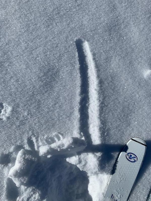
<7000' Supportable rain crust topped with a cm of faceted snow and surface hoar. Runnels present. 1st photo, 2nd video
7000'-8000' Breakable rain/rime crust with hard wind board in exposed terrain.
>8000' Variable conditions - rime, wind crusts, hard wind slabs and occasional patches of soft settled powder. 1st video
Red Flags
Red Flags
Poor Snowpack Structure
Avalanche Problem #1
Problem
Persistent Weak Layer
Trend
Same
Problem #1 Comments
Trending low probability high consequence and soon 'dormancy' of the old October snow at the bottom of the pack.
Mid - transition - upper elevation snow depths are 120-150cm+
Pencil/Pencil+ slab is 100-120cm thick overlying 20cm thick October PWL. These 4F- 3mm squares and depth hoar are showing some signs of rounding.
ECTX. Difficult to find terrain to dig that wasn't significant wind affected.
Bottom Line: may still be possible to trigger avalanches into this layering in thin, steep, rocky terrain and probably needing a sigificant trigger.
Avalanche Problem #2
Problem
Wind Drifted Snow
Trend
Decreasing Danger
Problem #2 Comments
Increasingly stubborn hard slabs exist in the upper elevations.
Video
Video
Today's Observed Danger Rating
Moderate
Tomorrows Estimated Danger Rating
None