Observation Date
12/28/2021
Observer Name
Blake Quinton/Alex Lissounov
Region
Uintas » Slader Basin
Location Name or Route
Upper Weber Canyon
Comments
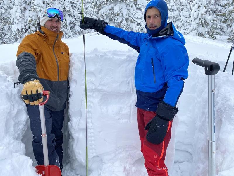
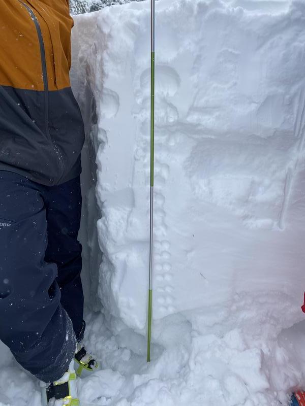
Today's three mile climb up a Slader Canyon Road had us feeling more comfortable that maybe we could ski some low angle fields. Then we dug our pit.
Our pit was dug facing south east which was the same angle we hoped to ski. While digging the snow pit the surrounding area collapsed in a circle with a thirty foot radius. That made us all jump. Then after digging out 185cm of snow we got to see what was underneath. Forty-five centimeters of facets! No wonder it collapsed.
In general, the new snow is great going from fist to four finger to three to two all in order. Then we travel to October. The facets were so loose they were falling out from under the test slab.
The test slab failed at ECTP 13, 45 CM from the slab. Our ski day was over and back down the road we went.
Today's Observed Danger Rating
High
Tomorrows Estimated Danger Rating
High
Coordinates


