Observation Date
4/7/2021
Observer Name
Ted Scroggin
Region
Uintas » Bear River Ranger District » Gold Hill
Location Name or Route
Gold Hill
Weather
Sky
Clear
Wind Direction
West
Wind Speed
Calm
Weather Comments
Mostly clear skies with some high clouds moving in late this afternoon, winds were generally calm and temperatures did not not get too warm today.
Snow Characteristics
New Snow Depth
8"
Snow Surface Conditions
Powder
Damp
Snow Characteristics Comments
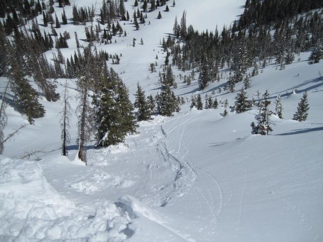
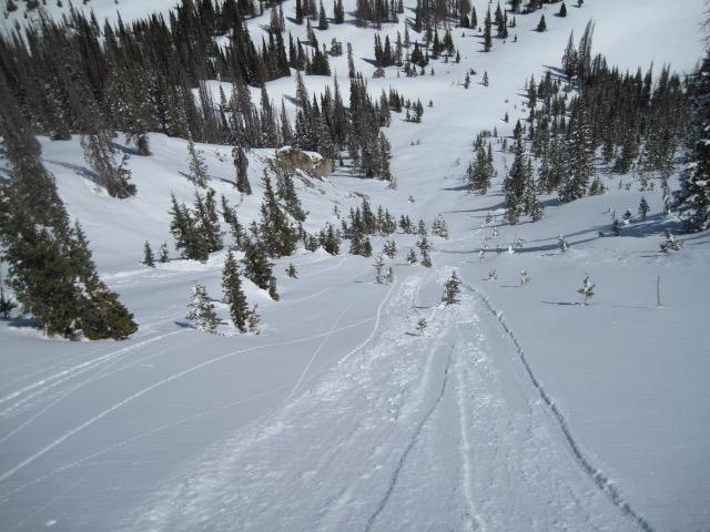
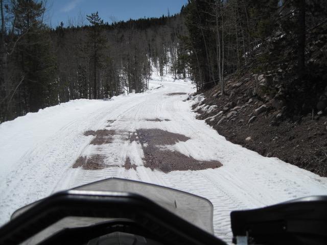
Around 8-10" of new snow from the Tuesday storm out in Gold Hill and some decent dry cold snow on high north facing slopes that held up pretty well with the warming temperatures. Other slopes were getting pretty damp and sticky, but did not observe any real wet snow problems. The access to the back country is getting a little harder with much of the lower elevation roads melting out and the snow pack was getting unsupportable on the exit out today.
Red Flags
Red Flags
Rapid Warming
Red Flags Comments
Did not observe any natural wet snow issues, but I was able to get the recent snow to sluff and get some shallow wet sluffs to move downhill and start to pile up wet debris.
Avalanche Problem #1
Problem
Wet Snow
Trend
Increasing Danger
Problem #1 Comments
Should see more wet snow issues as the recent snow gets heated up more and becomes more unstable.
Comments
A few wet snow sluffs that would easily get moving and start to pile up some wet debris. Just a slight change to a more north facing aspect and the new new snow was more dry and did not entrain quite the same wet debris. I think the dry powder like snow will be short lived.
A little disappointing to see the conditions melting this soon, this photo is on the lower part of the Whitney road.
Today's Observed Danger Rating
None
Tomorrows Estimated Danger Rating
None
Coordinates