
Observation Date
3/10/2021
Observer Name
E
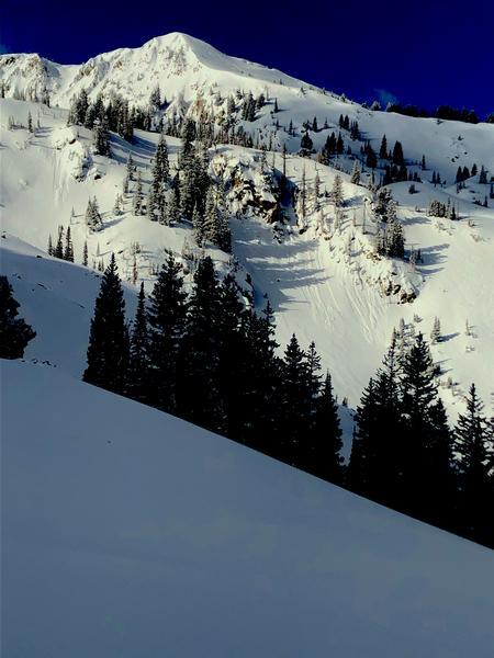
Region
Salt Lake » Big Cottonwood Canyon » Brighton Perimeter
Location Name or Route
Brighton Perimeter
Today's Observed Danger Rating
Low
Tomorrows Estimated Danger Rating
Moderate
Coordinates


