Observation: White Pine

Observation Date
3/5/2021
Observer Name
CBrown
Region
Salt Lake » Little Cottonwood Canyon » White Pine
Location Name or Route
LCC, Red Pine & White Pine
Weather
Sky
Few
Wind Direction
Southeast
Wind Speed
Light
Weather Comments
Warm sunny day, very light winds at teh highest ridges.
Snow Characteristics
Snow Surface Conditions
Powder
Dense Loose
Faceted Loose
Wind Crust
Melt-Freeze Crust
Damp
Snow Characteristics Comments
Lots of bad snow out there. Very nice cold settled powder found on Norths above 8,000', steeper held cold snow, low angle exposed norths were crusty, but a little tilt or some old growth trees kept snow cold. The higher sun angle is affecting exposed low angle norths but not the treed areas. See Jim Steenburg's discussion on Diurnial vs Persistent Cold Pools These northerly areas described are benefiting from diurnal cold pools providing a diurnal recrystallization process to keep mid and upper elevation norths skiing well.
Red Flags
Red Flags
Wind Loading
Rapid Warming
Poor Snowpack Structure
Red Flags Comments
Slight wind loading the W during the afternoon with light ESE winds on the ridge lines. Poking snow in thin rocky areas I still feel the weak faceted snow on the ground. The warming today didn't seem to be a major problem. After a fw days of warmer temps and strong sun much of the action has taken place. I would be skeptical of lower elevation souths, as well as low elevation steep norths (ie Y couloir ect). These low elev norths have these warm temps heating up cold snow for the first time during this week.
Avalanche Problem #1
Problem
Persistent Weak Layer
Trend
Decreasing Danger
Problem #1 Comments
Unreactive as of now but the structure remains. A new load could reactivate this layer in shallower weaker cold areas. Also, a big warm up may also add free water to the pack to reactivate these layers into a wet slab problem. As of now, unlikely to see any action and the deeper pack areas and these warm temps will be healing the PWL.
Avalanche Problem #2
Problem
Wet Snow
Trend
Decreasing Danger
Problem #2 Comments
Much of this problem has already moved during the last couple days.
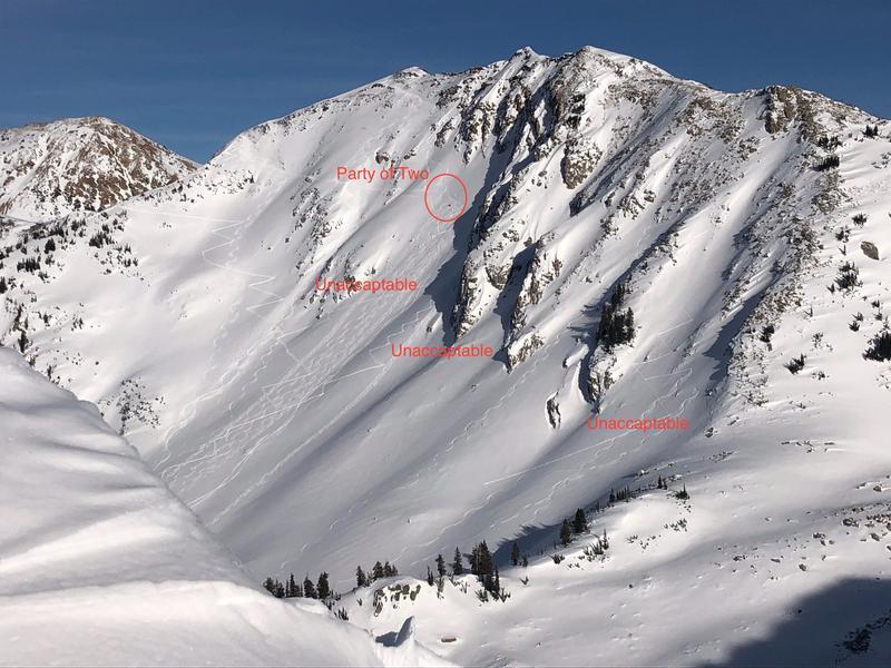
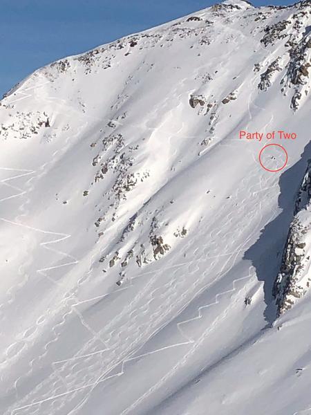
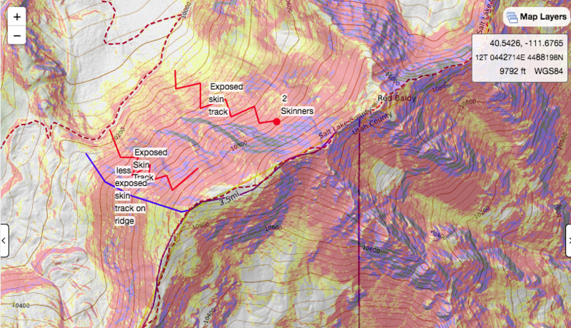
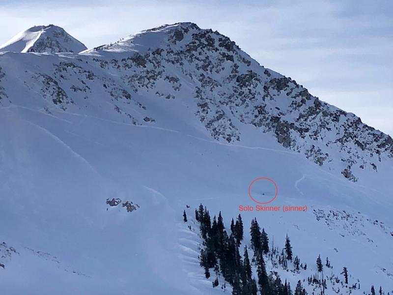
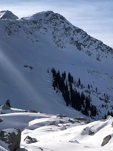
I guess low danger means that standard safe travel protocols go out the window in the central Wasatch. Sad to observe ski tracks going right up steeper north facing avalanche terrain when totally unnecessary. I thought minimizing exposure on the uphill while skinning was obvious, but the pictures below of skin tracks on Red Baldy and traverse and skin tracks on No Name Baldy were very disappointing to see. Lower angle terrain, minimizing overhead hazard, using safer aspects and features like ridges are how we reduce our exposure. Low danger is not no danger and exposing multiple people on the up-track when totally unnecessary is reckless, setting bad examples, ruining ski runs and unacceptable. Consider clocking your exposure times while ou in bigger terrain. Limited exposure on the up and top down skiing avalanche terrain must be out of style, while half lapping and maximizing exposure is the new (sickening) fad....
Today's Observed Danger Rating
Low
Tomorrows Estimated Danger Rating
Low
Coordinates