Observation Date
3/3/2021
Observer Name
Bill Nalli, Andrew Nassetta
Region
Uintas » Upper Humpy Creek
Location Name or Route
Upper Humpy Creek
Comments
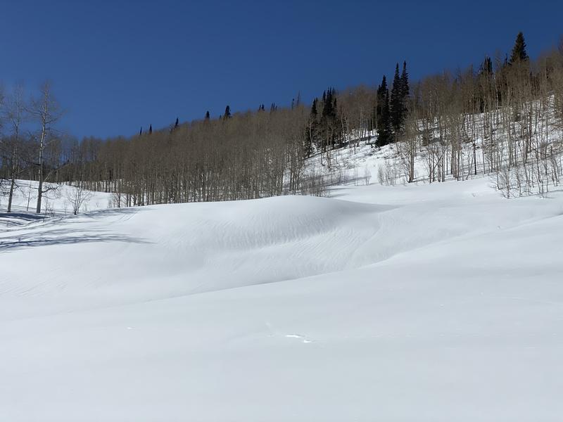
Another calm, clear and warm day. Temps reached 31F at 10,600', (4F warmer than yesterday). S wind increased to moderate speeds by late afternoon. The snowpack seems to have adjusted to last weekend's 0.7" SWE load with no obvious signs of instability, aside from a few rollerballs from recent warming. That said, poor structure remains on all mid and upper elevation shady slopes. Over the past few days my party traveled across all aspects and elevations without incident, albeit very few slopes greater than 35 degrees were crossed. The snow profile above from Upper Humpy Creek at 10,100' illustrates the main avalanche problem well. Over a meter of dense snow rests above a very thick layer of depth hoar on most slopes on the north half of the compass. With average snow depths of 150cm-180cm the DH is now rounding. The question is, dose this start to the sintering process equate to strengthening. I think the simple answer is yes but with such a thick layer of advanced facets to deal with it is still wise to hedge your bets with lower angle, lower consequence terrain. Stability tests indicate a lower likelihood of propagation but occasionally we get results like today's PST 40/100 END down 140cm.
Sunny slopes got wet over the last few days and will have a thin to stout crust on Thursday. The beginnings of the water factory are forming already. Pic below is of runnells on a south-facing slope at 9600'. No wet avalanches were observed but by late afternoon south and west-facing slopes were saturated down 10-20cm.
Video
Shady slopes are staying dry so far. So much so that I found a layer of surface hoar that formed during the week of Feb. 22, buried 25cm down on an upper elevation sheltered north-facing slope. Pic below. The distribution seems isolated to the most sheltered areas but it is still worthy of note as we move into a more stormy period next week.

Today's Observed Danger Rating
Moderate
Tomorrows Estimated Danger Rating
Moderate
Coordinates


