Observation Date
2/27/2021
Observer Name
John Lemnotis
Region
Salt Lake » Big Cottonwood Canyon » Bear Trap
Location Name or Route
Beartrap

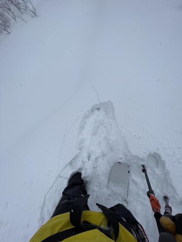
Video
Today's Observed Danger Rating
None
Tomorrows Estimated Danger Rating
None


