March Kicks Off Our Spring Campaign- Donate Now to Support Forecasting

Observation: Uintas

Observation Date
2/23/2021
Observer Name
Ted Scroggin
Region
Uintas
Location Name or Route
Mill Creek
Weather
Sky
Scattered
Wind Direction
Northwest
Wind Speed
Moderate
Weather Comments
The day started with clear skies when clouds moved in for part of the morning, then skies cleared again for the afternoon, but the winds stayed gusty from the northwest.
Snow Characteristics
Snow Surface Conditions
Dense Loose
Wind Crust
Snow Characteristics Comments
Generally some nice dense settled powder snow in the Mill Creek area with wind worked snow on the exposed ridge lines. The north facing slopes rode pretty well with mostly supportable snow, but anything south facing was punchy and as I stepped off the machine I punched through to the ground.
Red Flags
Red Flags
Recent Avalanches
Wind Loading
Poor Snowpack Structure
Red Flags Comments
The snow pack is a bit more shallow in this area with well developed weak sugary faceted snow down near the ground with a 4finger to 1finger slab on top. There has been some recent natural avalanche activity on the north facing terrain where strong northwest winds have overloaded the weak snow pack. Today, the winds were quite gusty and blowing snow on the higher exposed terrain where there was still loose snow to drift.
Avalanche Problem #1
Problem
Persistent Weak Layer
Trend
Same
Problem #1 Comments
The persistent weak layer of snow down near the ground is very evident in the Mill Creek area where the snow pack is only around 120cm (50"). There has been some recent natural avalanche activity where it looks like wind drifted snow overloaded a weak and shallow snow pack.
Avalanche Problem #2
Problem
Wind Drifted Snow
Trend
Same
Problem #2 Comments
Much of the high exposed terrain in Mill Creek has been worked over by strong northwest winds where textured snow and large cornices and drifts are evident. I was finding reactive shallow fresh semi-hard wind slabs on the some of the ridge lines that had a north through east aspect. These broke up to a foot and a half deep.
Comments
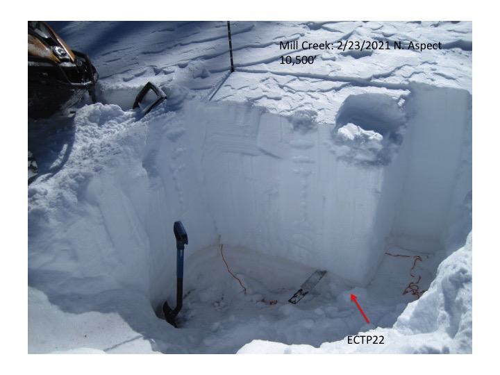
Generally around 120cm (50") in the upper Mill Creek area with a 4finger to 1finger slab on top of well developed weak sugary faceted snow. Locations like Mill Creek where the snow pack is somewhat shallow I would think it is more likely that a person could trigger an avalanche by impacting the weak snow near the ground.
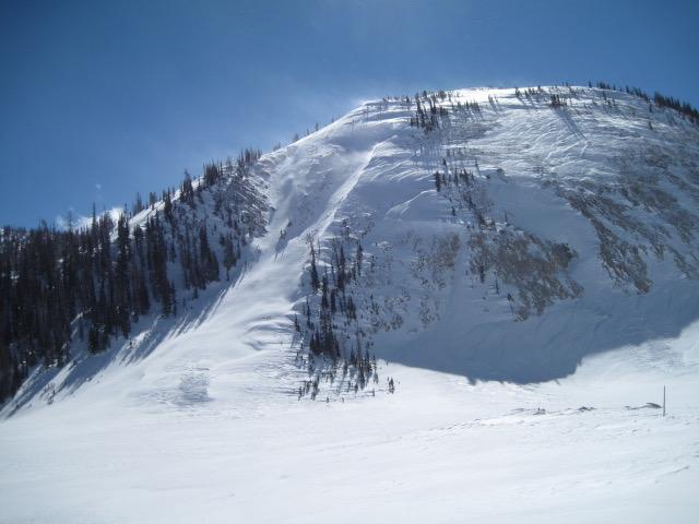
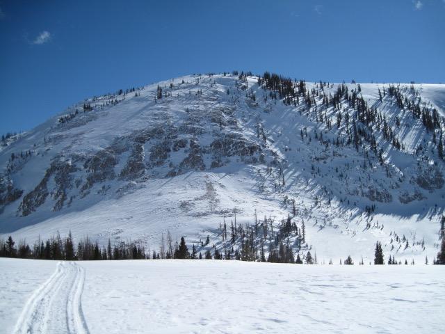
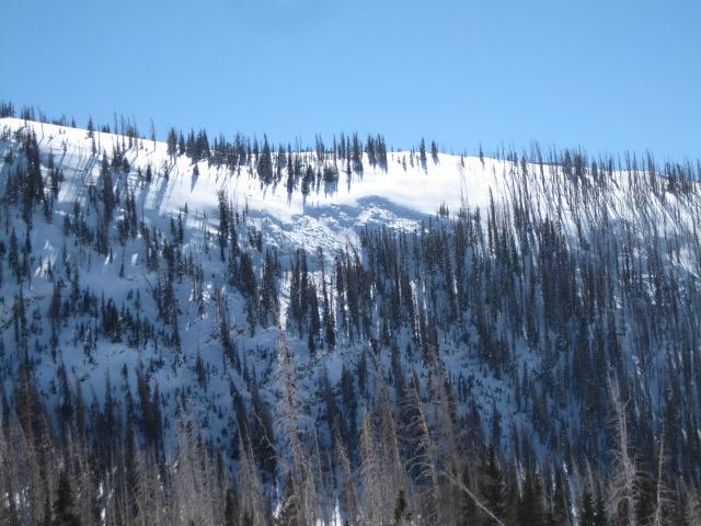
Lots of wind affected snow in upper Mill Creek and a fairly recent natural avalanche that broke about mid slope where the snow might be a little shallow and was quickly over loaded by dense wind drifted snow. Other avalanche paths looked like there had been some large slides where the debris was quite deep when the avalanche stopped.
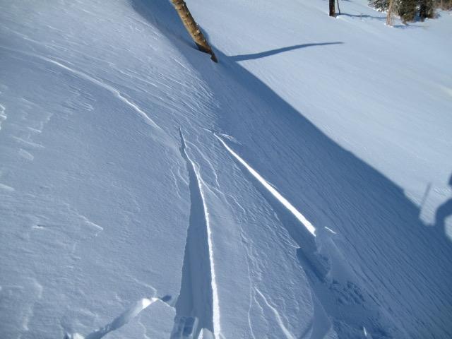
Fresh wind drifts on the leeward side of the ridge lines were a little sensitive and would break up to a foot and a half deep, these could get more connected with continued winds.
Today's Observed Danger Rating
Considerable
Tomorrows Estimated Danger Rating
Considerable
Coordinates