Observation: Park City Ridgeline

Observation Date
2/3/2021
Observer Name
Brown
Region
Salt Lake » Park City Ridgeline
Location Name or Route
PC Ridgeline
Weather
Sky
Obscured
Precipitation
Moderate Snowfall
Wind Direction
West
Wind Speed
Moderate
Weather Comments
Front arrived a little later than forecasted. Reached upper BCC at 08:00 with winds and light PPgp. Winds and precip increased quickly with S2-S5 by 10:00, upper end of mod winds. Around 11:30-13:00 winds decreased with break in the precip with cloud ceiling rising, temps dropped (-8C @ 9,500'). By 14:00-15:00 precip increased again and winds shifted to NW.
Snow Characteristics
New Snow Depth
4"
New Snow Density
Medium
Snow Surface Conditions
Powder
Wind Crust
Melt-Freeze Crust
Snow Characteristics Comments
Mixed bag out there today. New snow is welcome, especially the graupel and medium density snow. By afternoon the south facing crust was supportable with 3-4" of new snow. Upon leaving the field at 15:00 only about 4-5" of new snow.
Red Flags
Red Flags
Heavy Snowfall
Wind Loading
Cracking
Poor Snowpack Structure
Red Flags Comments
Lots of wind, blowing snow and periods of high PI. Poor structure persists. 9,700' N Pincone ridge, HS 125cm ECTN16/CTM14 SP down 40cm on FCsf, ECTP26 down 90cm on 20201211 FC.
Avalanche Problem #1
Problem
Persistent Weak Layer
Trend
Increasing Danger
Problem #1 Comments
1F-P hard slab above the 20201211 PWL, HS problem now in most places. Mid pack PWL was present but not producing propagation here, Q1/SP results in CT though..
Avalanche Problem #2
Problem
Wind Drifted Snow
Trend
Increasing Danger
Problem #2 Comments
Building new wind slabs while out today
Comments
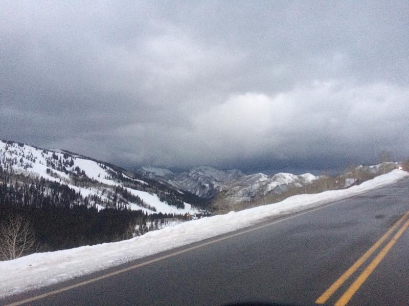
Picture of approaching front at 07:30 from upper BCC.
Not as much snow as forecasted during day made it feel more like 3/3/2. It was snowing heavily upon exit at 15:00
Today's Observed Danger Rating
Considerable
Tomorrows Estimated Danger Rating
None
Coordinates