Observation Date
1/24/2021
Observer Name
Champion & Karz
Region
Salt Lake » Big Cottonwood Canyon » Mineral Fork
Location Name or Route
Mid E. Ridge
Comments
Wanted to check out the snowpack structure and recent activity within Mineral Fork. We found about 12-16" of snow new low-density snow. While traveling we did not get too many obvious signs of instabilities, some much smaller cracks and few large collapses. Off the Santiago Ridgeline seemed to have been most impacted by the winds, and where the avalanche activity from yesterday occurred. All of the recent avalanches seemed to be soft slabs that broke within the new snow. We dug a pit on a NE aspect at 8600', the height of snow was 115cm - in that pit, I was able to find the obvious intact buried surface hoar. Still in plates under the new snow. Even with this buried surface hoar, we were unable to get propagation. Just ECTN10 within the new snow, ECTN11 on the buried surface hoar, and ECTN20 down on the old melt-freeze crust near 50cm within the snowpack. The new snow just did not seem very consolidated and did not have a connected slab on top of the weak faceted snow.
While I would expect the new snow instabilities to continue to decrease, once we get a bump in the wind we have a ton of snow to move around and form a stiff slab of wind drifted snow on top of these weak layers. I would pay attention to the wind speeds later in the weak, and look for any areas with signs of wind drifted snow from yesterday as those continue to be the most reactive.
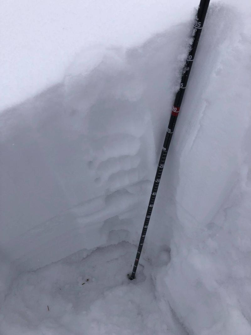
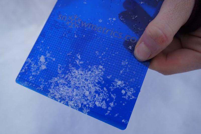
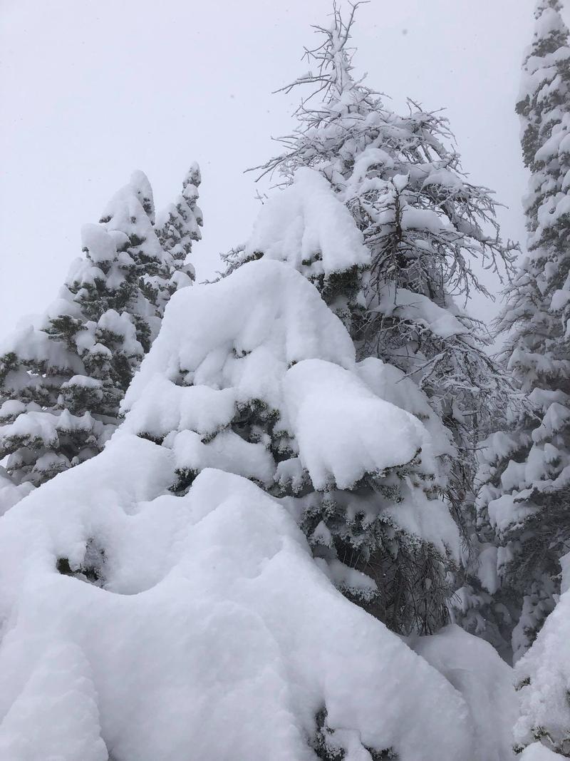
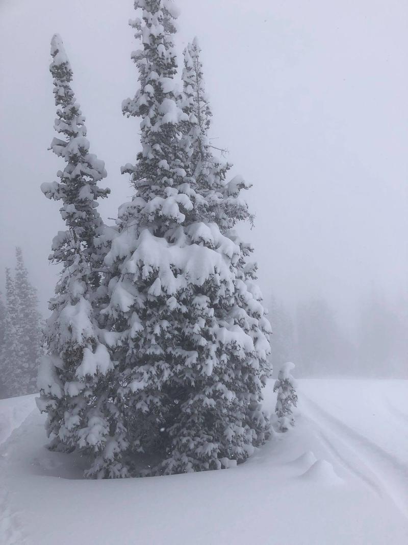
Photo of the snowpit profile, the BSH layer is down at 70cm.
Photo of the BSH 2-4mm. You can see a plate by the thumb.
Photos of the increased snow coverage.
Today's Observed Danger Rating
Considerable
Tomorrows Estimated Danger Rating
Considerable
Coordinates


