Observation: Cutler Ridge

Observation Date
1/19/2021
Observer Name
Greg Gagne
Region
Ogden » Ben Lomond » Cutler Ridge
Location Name or Route
Cutler Ridge
Weather
Sky
Clear
Wind Speed
Calm
Weather Comments
I began the tour at 1 pm, and by that time, the E/NE winds that had been moderate to strong through mid-morning had all but diminished.
Snow Characteristics
Snow Surface Conditions
Faceted Loose
Wind Crust
Melt-Freeze Crust
Rain-Rime Crust
Snow Characteristics Comments
Snow surface (where there is snow) is basically a mess. Above 6500' on West/North/East aspects the HS ranges from 45-90. Widespread wind affect above 7,000'. In wind-sheltered areas snow surface is facets and surface hoar, with some facets on top of a crust found on east aspects. Aspects facing southeast through southwest below 8,000' (my highest elevation) are crusted.
Red Flags
Red Flags
Wind Loading
Poor Snowpack Structure
Red Flags Comments
My highest elevation was 8,000', so unsure what conditions are like above that. But for the most part I was finding most of the snowpack where the PWL is present (West through North and East) the entire snowpack is becoming faceted with sandboxing. I was able to dig one pit where there was a ~30 cm 4F slab on top of the facets and got ECTP22 (more details below) but this structure where there is a stronger slab on top of the facets was largely absent where I was looking today. There are likely pockets in upper elevations where this structure is more common.
Comments
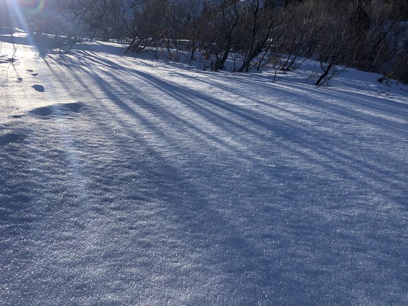
Was expecting to find more wind drifting in exposed terrain, but above about 7,000' the E/NE winds just seemed to erode most surfaces with so little snow available for transport.
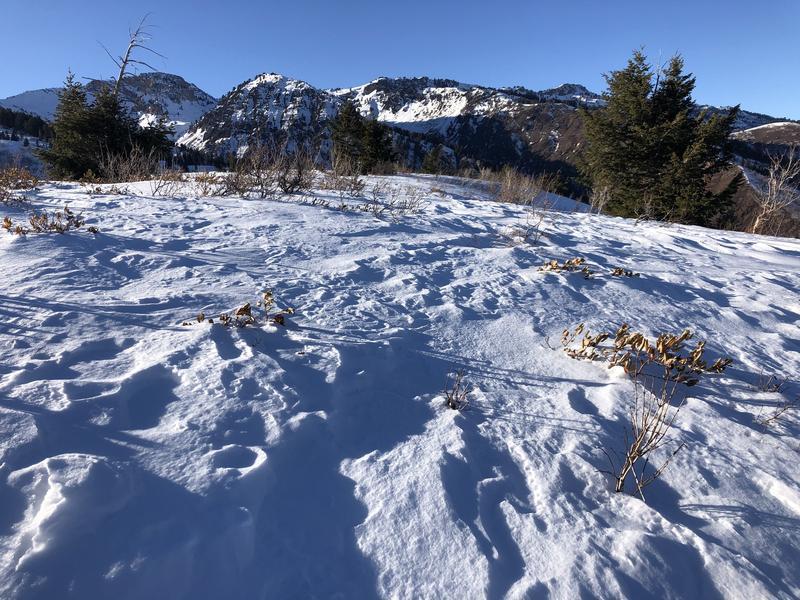
When it does snow (this weekend?) southwest through southeast are largely bare, and where there is snow, the surface is crusted. But where we'll want to go (northerly aspects) there are so many weaknesses in the snowpack (at the surface, midpack, basal facets and depth hoar) it will be hard to trust most anything. Great spatial variability.
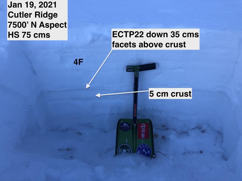
Did find one suspect slope on northerly aspect at 7,500' where there was a stronger 4F+ slab on top of the weaker facets atop a 5 cm melt/freeze crust down 35 cms. ECTP22. But for the most part, this structure of a stronger slab on top of the facets was harder to find as the snowpack below 8,000' was mostly all faceted.
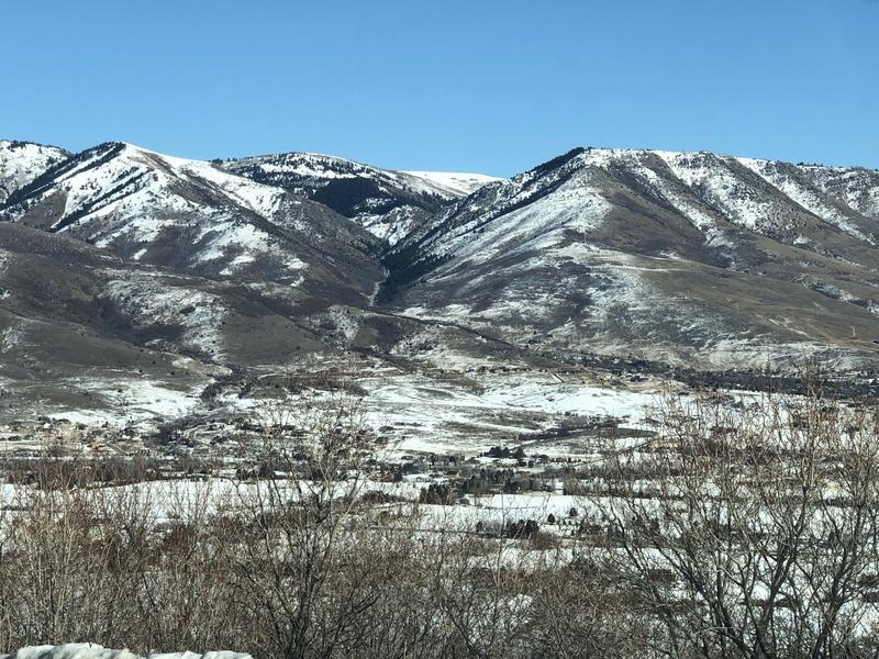
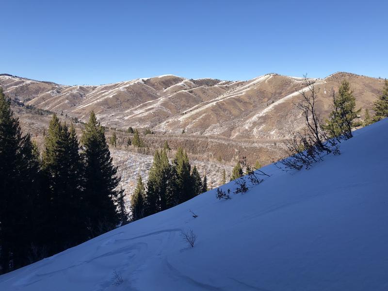
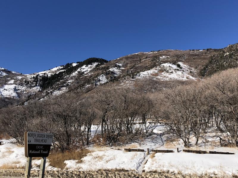
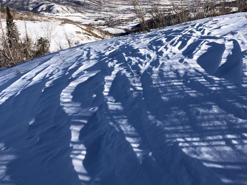
Photos of bleak coverage on southerly aspects and snow surface.
Today's Observed Danger Rating
Moderate
Tomorrows Estimated Danger Rating
Moderate