Observation Date
1/7/2021
Observer Name
Greg Gagne
Region
Salt Lake » Park City Ridgeline » Monitors
Location Name or Route
Park City Ridgeline / Monitors
Comments
Cruised Park City ridgeline today - this zone has been *very* active this week with numerous human-triggered slides. Focused on the Monitors as it now has three human-triggered slides in the past few days. The snowpack along the Park City ridgeline is typically weak even in a "good" year. But take a "bad" year, add an inch of water, wind, and some folks on skis/snowboards and you have an avalanche factory.
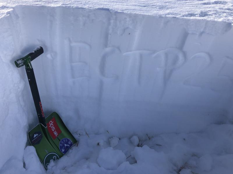
Most avalanches in this zone were triggered on slopes with denser slabs of wind-blown snow. In areas where there wasn't a stronger slab on top, pit results were ECTN. But where there was a stronger slab (mostly due to recent wind-loading, full propagation in extended column tests, with scores in the 20's.
Video
Today's Observed Danger Rating
Considerable
Tomorrows Estimated Danger Rating
Considerable


