Observation Date
1/4/2021
Observer Name
Maggie Nielsen
Region
Moab
Location Name or Route
Geyser Pass
Weather
Sky
Clear
Weather Comments
I watched the temperature gauge climb up as we left the Moab valley. Although it may not be obvious, we have a temperature inversion going on with a cold sink sitting over Moab. Luckily, we haven't been inundated yet by the ominous cloud sink we saw last January. The temperature was actually quite nice up in the mountains, hovering just below freezing during the tour up to Geyser Pass. The winds were calm but the signs of previous wind activity were obvious on most peaks and ridgelines. The skies were mostly clear until 330pm when a stratocumulus layer crept in overhead and the temperature had a sudden drop, surprisingly.
Snow Characteristics
Snow Surface Conditions
Powder
Faceted Loose
Snow Characteristics Comments
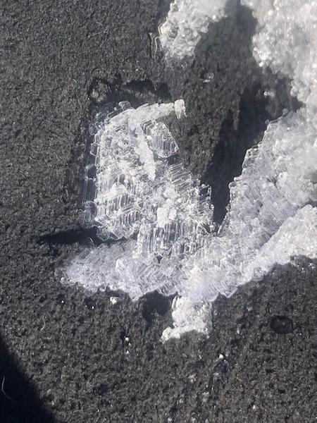
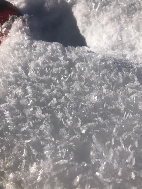
This was my first time up since the last snow storm came through. The surface conditons were pretty nice with some light-density snow abound. However, I did notice some more surface hoar development, especially in the open meadows beside the road. The crystals were already 1cm tall in places and are sure to get blown around and create more problems for our snowpack later on. There are still plenty of sharks hiding underneath the surface so be weary of the many hazards lurking.
Red Flags
Red Flags
Wind Loading
Poor Snowpack Structure
Red Flags Comments
I observed some wind loading on Haystack's gullies and could see wind loaded snow depositing in various depressions below and between ridges. We know that we have a poor snowpack structure and it is not getting better any time soon. If we see more clear, calm nights- we're bound to see surface hoar continue to grow and only add to our already sad snowpack structure.
Avalanche Problem #1
Problem
Persistent Weak Layer
Trend
Increasing Danger
Problem #1 Comments
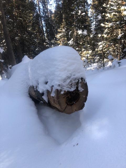
It's persistent. It's weak. It's now hiding underneath 1-2' of snow in areas. The more snow we see accumulate on top of the November weak layer, the worse things are going to get. We aren't likely to see things improve until things warm up in the Spring and help even things out. The shady faces will still be lagging behind.
Avalanche Problem #2
Problem
Wind Drifted Snow
Trend
Decreasing Danger
Problem #2 Comments
It appears that much of the snow that was available to blow around-has done so already in the high places. Watch out for depressions and gullies where wind-blown snow has accumulated and can be quite sensitive until more time passes.
Comments
The day was awesome up there! If you've been questioning making the trek up to the mountains-don't question it and go! It should be interesting to see how things continue to develop over the season. I'm thinking the name of the game is stay conservative until mid to late spring. Although, that always seems to be my approach up in the Lasals. Be careful out there and if you are going off track-be weary of the rocks and branches as we really need more snow coverage before most of those things are safely covered.
Today's Observed Danger Rating
Considerable
Tomorrows Estimated Danger Rating
Considerable


