Observation Date
12/22/2020
Observer Name
Fink
Region
Salt Lake » Little Cottonwood Canyon » Wolverine
Location Name or Route
Wolverine Bowl
Comments
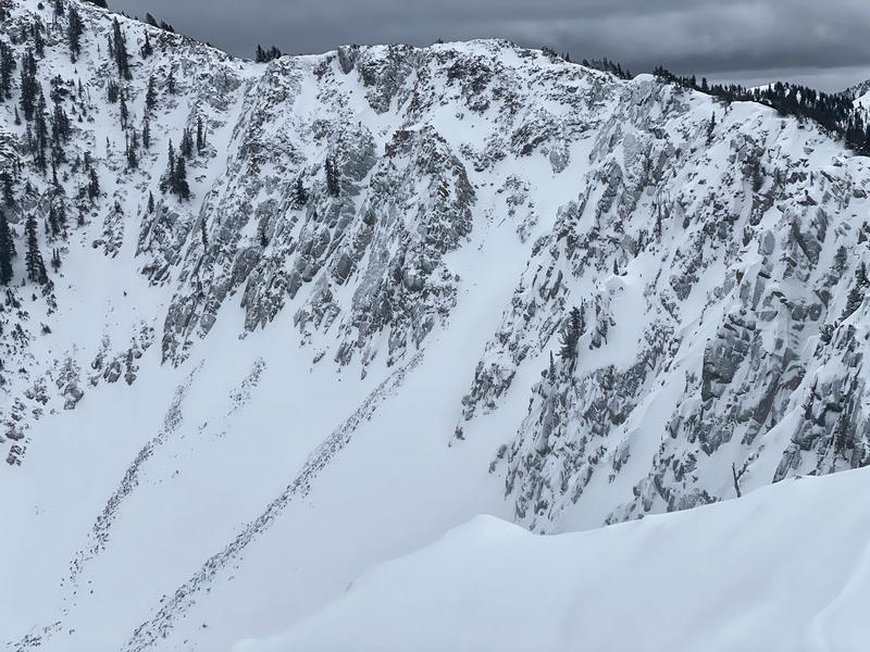
Travel was from Alta summer road -> Griz -> Patsy Marley -> Mt Wolverine -> Tuscarora -> Catherine's. Wanted to look at the state of coverage before the arrival of the front. Any South-ish aspect is now adorned with a 1 cm pencil hard but unsupportable sun crust. Aspects other than high northerlies have a mix of wind skin and zipper rime crusts, all still skiable. Some shletered and uncrusted snow remains in the trees. The south facing aspects of the microwave and tuscarora were clearly heavily solar yesterday and the limited snowpack (HS ~ 20-30cm) is frozen solid and challenging travel. The wolverine chutes are fairly cachectic (photo 2), though starting to build cornices. Heaven's gate area looks pregnant with wind-drifted snow and ready for an accident.
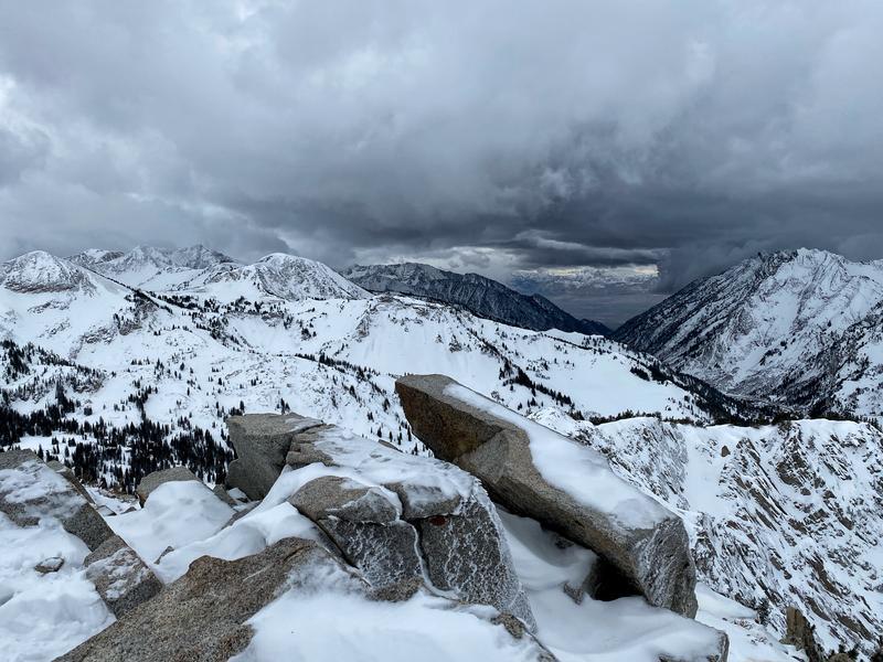
The front arrived with candor (Photo 1, ominous and coming up-canyon), and also with some thunder-snow.
Today's Observed Danger Rating
Considerable
Tomorrows Estimated Danger Rating
High
Coordinates


