Observation Date
4/17/2020
Observer Name
Ted Scroggin
Region
Uintas
Location Name or Route
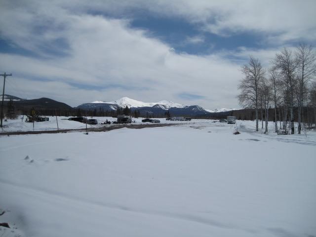
Whitney Basin-Double Hill
Weather
Sky
Few
Wind Direction
South
Wind Speed
Calm
Weather Comments
After a very chilly start this morning with below zero temp in some spots, the weather warmed up nice without getting out of hand. Winds remained very light to calm on the ridge tops and some increasing clouds around mid afternoon.
Snow Characteristics
New Snow Depth
12"
New Snow Density
Medium
Snow Surface Conditions
Powder
Snow Characteristics Comments
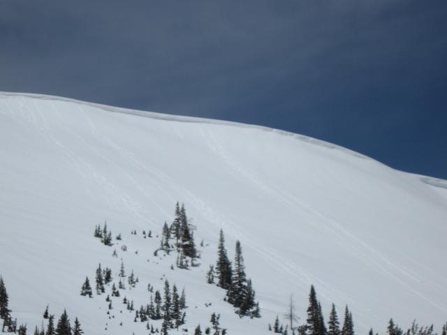
Great little spring storm putting down around a foot of medium density snow that rode very nice today. The snow conditions held up quite well even with some direct sun and being the middle of April. Slopes receiving direct sun took on some heat with the new snow starting to form more of a slab with heating. However, there was very little wet snow issues, a few snow balls rolling of the ridge lines was about it where I traveled today.
Red Flags
Red Flags Comments
No big red flags observed, but would note that wet snow issues are likely the main issue with fresh snow getting some direct intense sunshine. Any wind slabs have likely settled out unless in the above tree line zone.
Avalanche Problem #1
Problem
Wet Snow
Trend
Increasing Danger
Problem #1 Comments
Another day of warm temps and sunshine should create some unstable wet snow issues as the new snow continues to warm. Might even see the higher north facing slopes reacting to the warm temperatures.
Comments
The trailhead was a little busier today given the new snow and nice weather and would think more riders will be out tomorrow for maybe one last hurray.
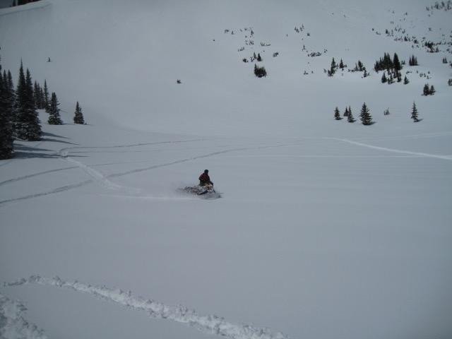
A foot of new snow rode quite well today and riders enjoying a brief return of winter conditions.
Just a few snow balls coming off the ridge lines with day time heating was all the wet issues I observed around the Double Hill area.
Lower elevation snow was getting quite warm and the new snow would slide easily on steep sun exposed slopes.
Today's Observed Danger Rating
Moderate
Tomorrows Estimated Danger Rating
Moderate
Coordinates