Observation: Twin Lakes Pass

Observation Date
4/16/2020
Observer Name
Hardesty and Reardon
Region
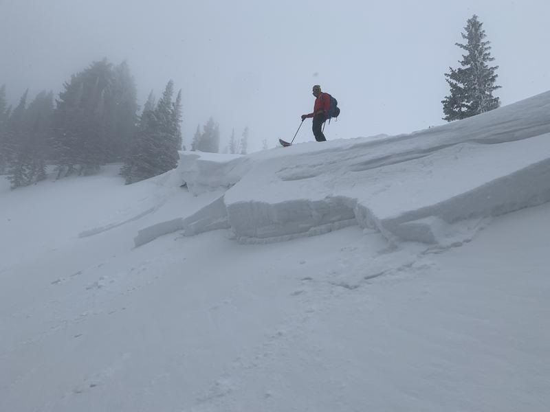
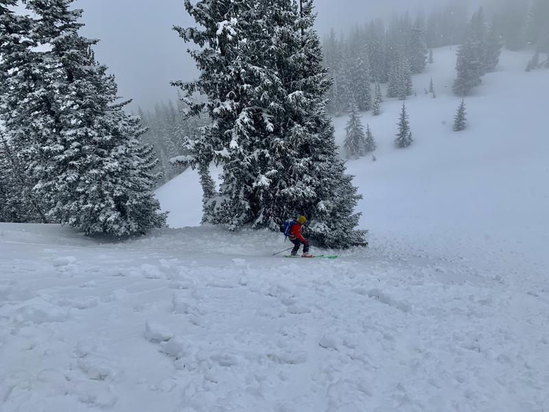
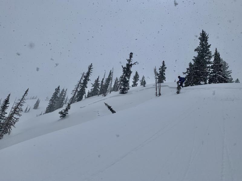
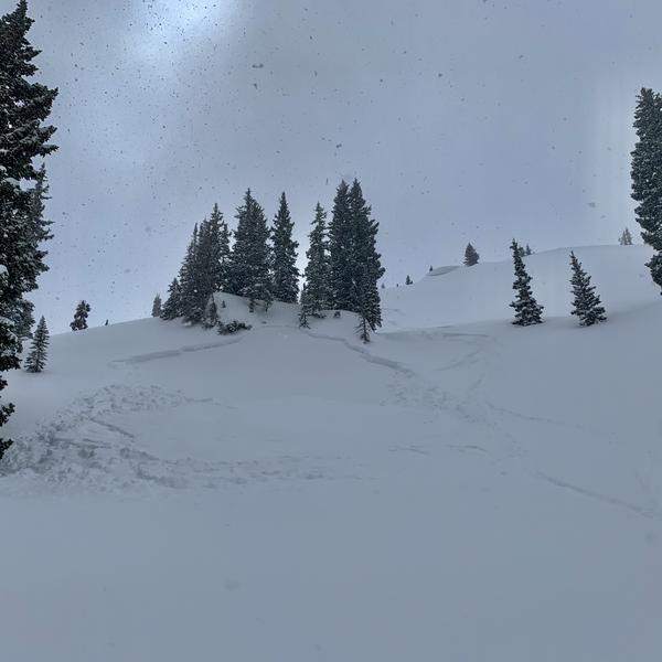
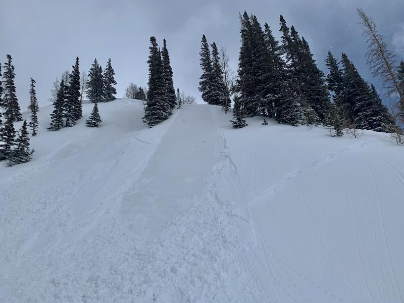
Salt Lake » Little Cottonwood Canyon » Grizzly Gulch » Twin Lakes Pass
Location Name or Route
Patsy and Twin Lakes areas
Weather
Sky
Overcast
Precipitation
Light Snowfall
Wind Direction
West
Wind Speed
Light
Weather Comments
Off and on snow; no wind noted; greenhousing
Snow Characteristics
New Snow Depth
10"
New Snow Density
Medium
Snow Surface Conditions
Powder
Snow Characteristics Comments
Greenhousing seemed to help consolidate the new snow into more of a slab during the day.
Red Flags
Red Flags
Recent Avalanches
Heavy Snowfall
Cracking
Collapsing
Poor Snowpack Structure
Red Flags Comments
Active day
Avalanche Problem #1
Problem
New Snow
Problem #1 Comments
  • Noted many avalanches triggered on many aspects and elevations, notably mid and upper elevation (>9000') northwest to east facing. These mostly seemed to run on weak snow above last week's thermal crust. Rounding smaller grained facets identified with scope. These were roughly 12-18" deep and 40-150' wide on our outing. Avalanches also reportedly running at the new/old interface a few inches above the crust and this should settle out more quickly. ECT tests produced ECTPV to ECTP25 on the crust.
  • Southerly aspects produced some size 1 and 2 slab avalanches with avalanche control work (UDOT LCC)
  • These soft slab avalanches generally needed to be triggered on slopes approaching 40 degrees; with none noted to be triggered at a distance (remote) from our observations.
  • Many of these were triggered by us well off the ridgeline and had little to no wind effect.
Today's Observed Danger Rating
None
Tomorrows Estimated Danger Rating
None