Observation Date
3/30/2020
Observer Name
Hardesty and Keeling
Region
Salt Lake » Big Cottonwood Canyon » Mill B South
Location Name or Route
Mill B South
Comments
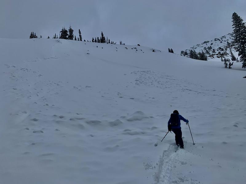
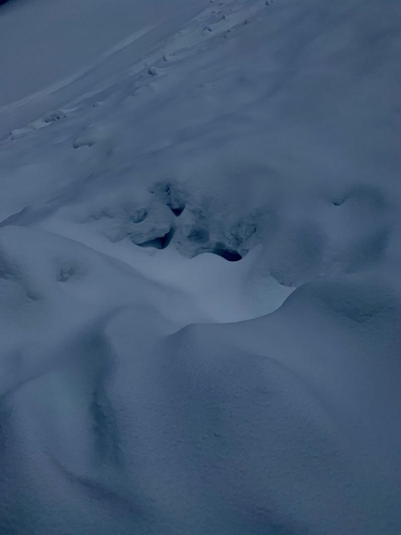
Went up to go look at this human triggered avalanche and close call from Saturday. Reporting party indicated that it was a "short, steep, rocky drop. 3rd skier triggered, carried, and buried except for face." Photo of the avalanche and burial below. Avalanche was initially triggered in a very steep and rocky rollover that propagated 200' wide. Roughly 12-18" deep, failing on facets above a sun crust from 21/22 March weekend. 9900' SSW. Photo and video of facets below.


Video
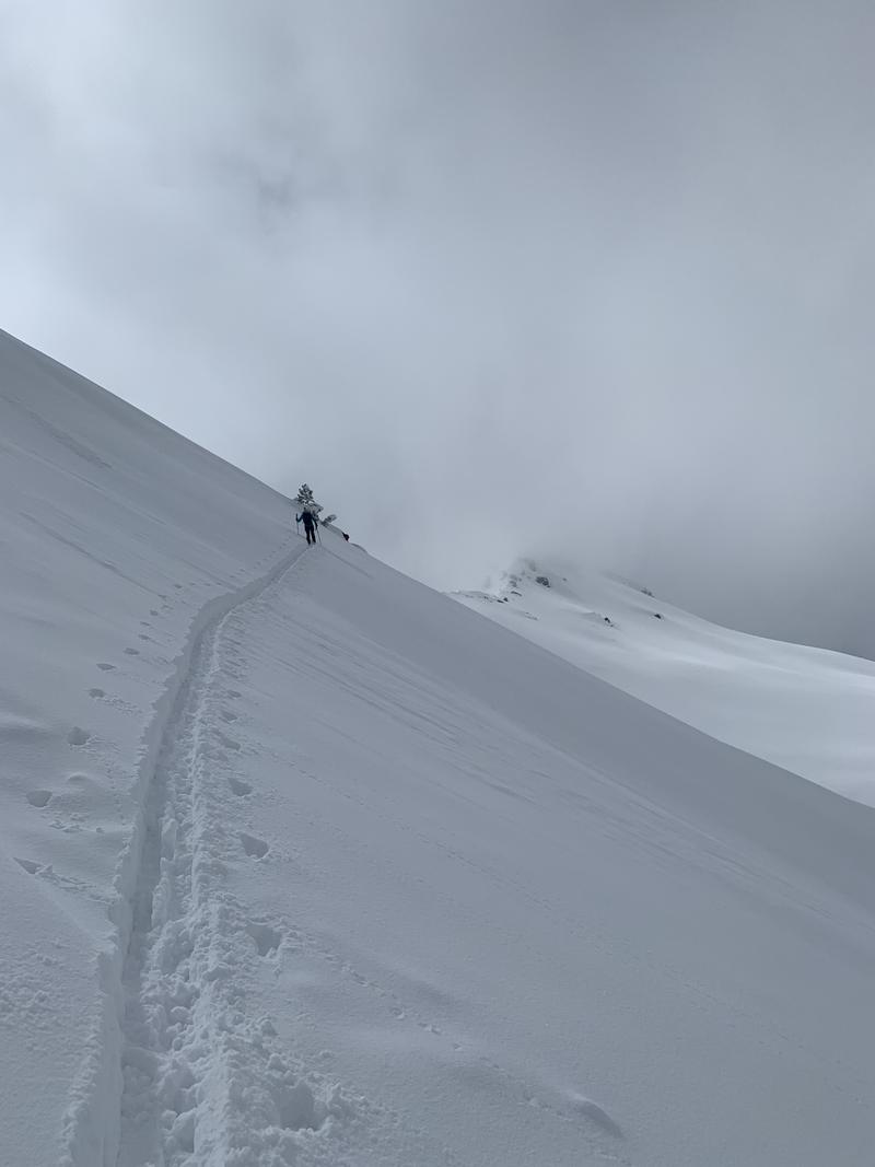
Upper elevation northerlies held non-propagating weaknesses in two layers of stellars, 20cm and 40cm down and felt Low danger in this terrain.

Primary concerns will center on wind, sun, and warm temperatures and how they will affect the new snow. Believe issues with old interfaces to be spotty and isolated and at this time lacking pattern in regard to aspect. (No Name, this one, presumably Farmington Lakes, etc...northeast to southwest, etc).
Today's Observed Danger Rating
Moderate
Tomorrows Estimated Danger Rating
None


