Observation Date
3/22/2020
Observer Name
Brackelsberg
Region
Uintas
Location Name or Route
Mt Watson
Weather
Sky
Broken
Precipitation
Light Snowfall
Wind Direction
Southwest
Wind Speed
Strong
Weather Comments
The calendar may say spring, but it felt like winter in the high country today. Temps remained cold. The clouds parted occasionally showing some sun, but it was rare. Light snow fell all day with minimal accumulation. Outside of sheltered terrain, the strong winds were transporting a significant amount of snow.
Snow Characteristics
New Snow Depth
16"
New Snow Density
Low
Snow Surface Conditions
Powder
Snow Characteristics Comments
The snow was cold and dry making for amazing conditions. There was ~16" of soft snow from the last series of storms.
The wind exposed ridgelines had places scoured clean of snow, some deep wind drifts, and some sensitive wind slaps (
see avalanche submission ).
Red Flags
Red Flags
Recent Avalanches
Wind Loading
Red Flags Comments
Several natural avalanches were observed on the Mt Watson ridgeline. The lee side of the ridge had a shallow soft wind slab. The wind was blowing all day and transporting significant amounts of snow.
Avalanche Problem #1
Problem
Wind Drifted Snow
Trend
Same
Problem #1 Comments
Per comments above, the wind slabs were sensitive.
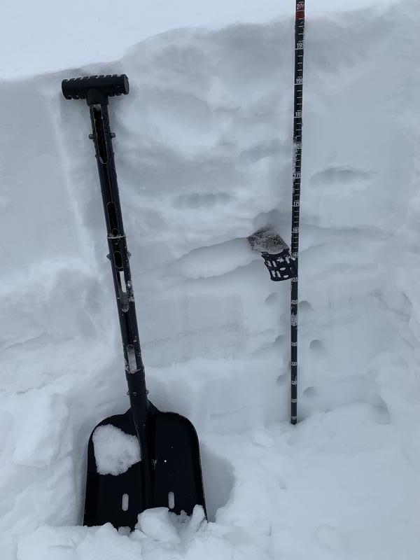
Snow Profile
Aspect
Northeast
Elevation
10,600'
Slope Angle
27°
Comments
Our pit tests had an easy fracture for a compression test, but no results from an ECT. Both tests were performed twice. We dug where there was no wind loading. Higher up, the
soft wind slab problem was obvious . It was also easily mitigated today.
The sensitive wind slabs today were our primary concern. With the amount of snow being transported today, I feel these will likely be larger slabs on Monday and still be quite sensitive.
Today's Observed Danger Rating
Moderate
Tomorrows Estimated Danger Rating
Moderate
Coordinates