Observation: Porter Fork

Observation Date
3/20/2020
Observer Name
Grainger
Region
Salt Lake » Mill Creek Canyon » Porter Fork
Location Name or Route
Porter
Weather
Sky
Overcast
Wind Direction
South
Wind Speed
Light
Weather Comments
Mostly continuous cloud ceiling with intermittent sunny breaks.
Snow Characteristics
New Snow Depth
3"
New Snow Density
Medium
Snow Surface Conditions
Powder
Dense Loose
Snow Characteristics Comments
Another day of sluffs and greenhousing in Upper Porter.
New snow depth ranged from <1" at 6000' to >3" above 9000'. The most recent medium-density snow came in with a high enough PI to cause natural dry-loose releases in steep/convex/complex terrain. The minimal storm wind kept these releases from entraining much.
New layer was also easily sluffed with skis but like the naturals only ran until slope changed to under ~35 degrees. Again today's cloud layer greenhoused the new snow throughout the afternoon but I observed no wet-loose activity as of 1530 at lower elevations.
A short late-day pulse produced 1-3mm graupel down to 6000'.
Comments
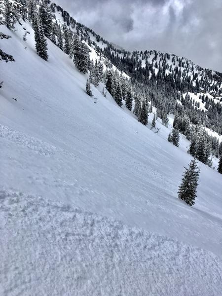
1- On steeper headwalls and under corniced ridgelines sluffing was prevalent, harmless.
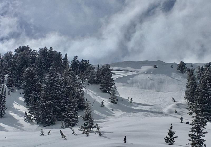
2- Large slab feature in the Ice Box area was perfect angle-o-sluff.
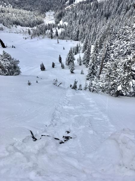
3- Human-triggered were shallow and limited to ski width.
Today's Observed Danger Rating
Low
Tomorrows Estimated Danger Rating
Low
Coordinates