
Observation Date
3/5/2020
Observer Name
Charlie Ramser & Ian Marynowski
Region
Moab
Location Name or Route
Gold Basin
Comments
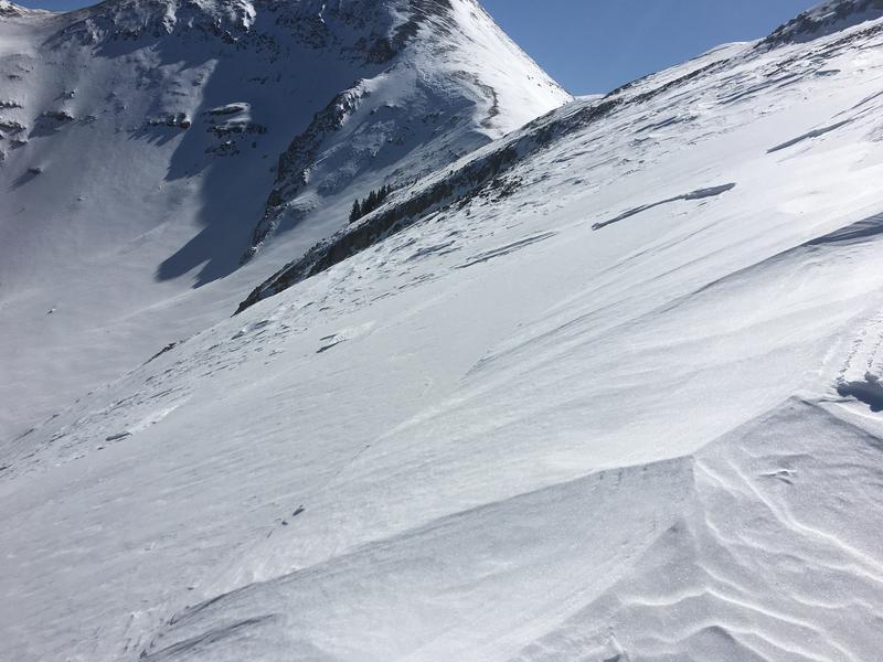
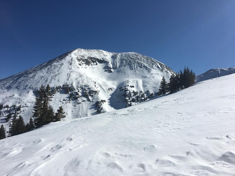
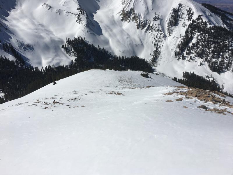
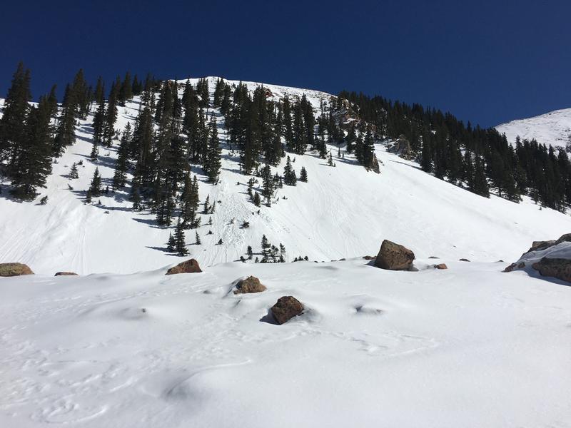
Looking up high there are several signs of wind transportation. One was perhaps an old avalanche crown that has been wind affected. Next is exposed S facing slopes that look filled in compared to how they may have looked before the 10 inches of snow and wind event. Then there was the wind scoured Laurel Highway and the all the snow that blew off the Funnel into Gold Miners. I
All these signs of wind did not amount to any obvious instability on our tour. The wind slabs that we came in contact with were not well developed, hollow, or threatening.
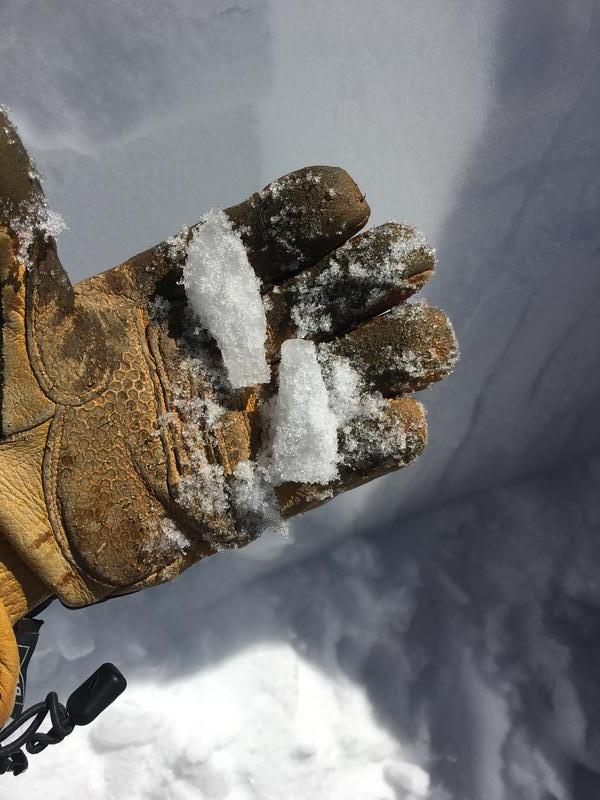
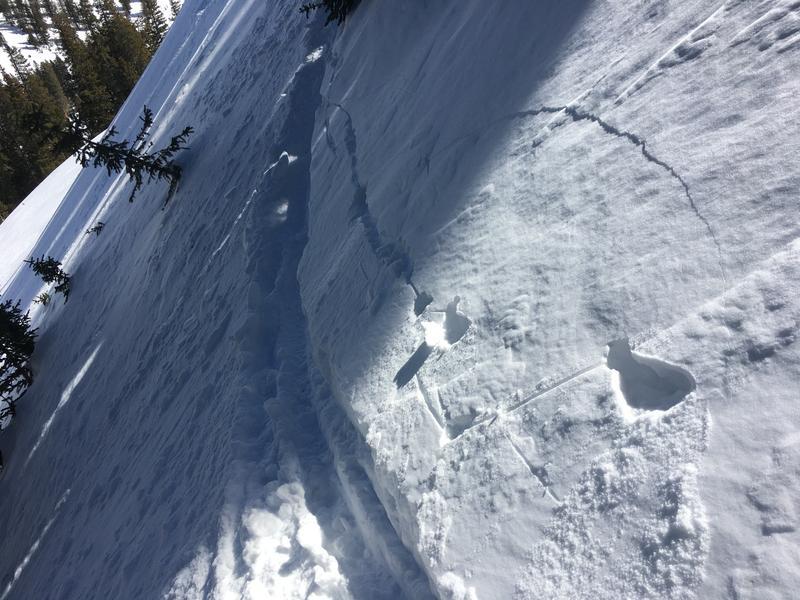
The nerdiest find of the day in our snowpit were these weird stalactite things. Melt-freeze columns or rebar, per say. It was evidence that water has been percolating down into the snowpack and it was pretty fun to carve them out of the snow to see them. They were occuring 40-50 cm down from the surface.
Around 40cm down from the surface seems to be a transitional area of the snowpack. Beneath it is still dry snow, while the snow above it is more consolidated.
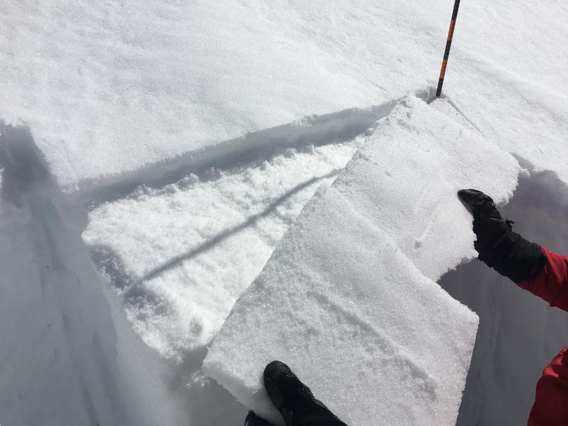
The melt freeze crust that has been forming may be notable as it gets buried. Especially if it becomes a host for near surface facets in the meantime. It failed on isolation on a CT and ECT.
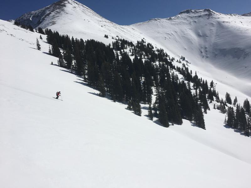
Overall on the aspect we dung on, the snowpack has been healing.
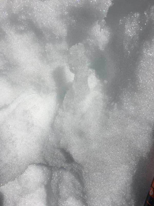
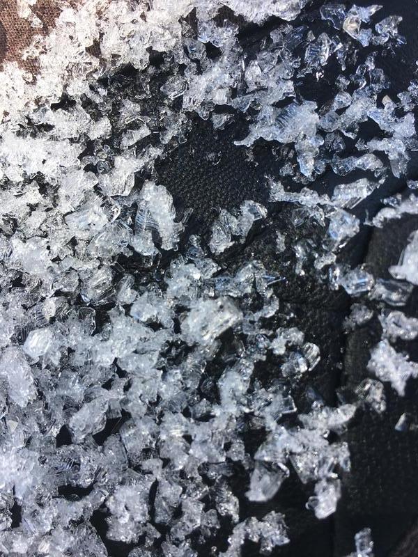
The northerly aspects are still stuck in winter. About 50 cm down I noticed a melt freeze crust, and beneath that was heaps of loose faceted snow. In a thin snowpack area I picked up some facets that were well developed and pyramidal.
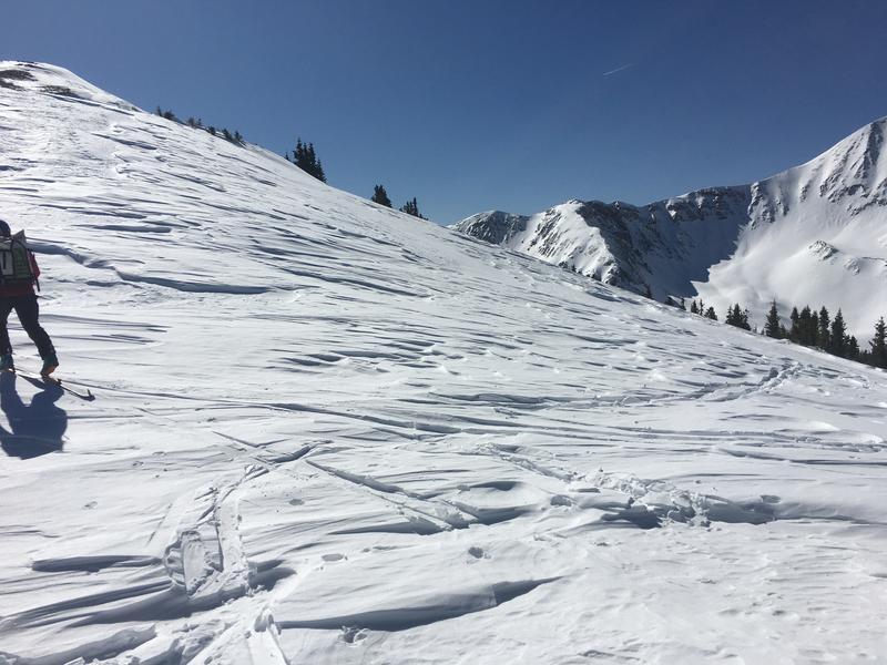
The snow was soft and we saw some small cracks shooting from our skin track in a shallow 1-2cm windslab.
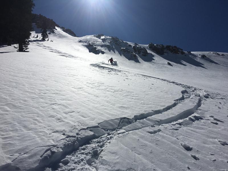
We have started to see water move down into the snowpack. Keep an eye out for more wet activity. We saw some small wet activity on a south facing slope.
Today's Observed Danger Rating
Moderate
Tomorrows Estimated Danger Rating
Moderate
Coordinates


