Observation Date
2/3/2020
Observer Name
Champion
Region
Salt Lake » Big Cottonwood Canyon » Mill D North » Little Water
Location Name or Route
Little Water
Comments
Headed up Mill D to Little Water to see how much snow fell mid-canyon. It seems that the storm favored the benches, and mill creek canyon over either of the cottonwoods. While traveling we weren't able to find any zones with much more than 8 inches of snow, and it seemed pretty unreactive where we were. We could get some sluffing on steeper terrain, especially that which was slightly south facing with the now supportable old solar crust. At upper elevations, on south-facing aspects, we were seeing a bit more cohesive snow surface that had been affected by the wind but were unable to get any significant cracks or whomps.
While the cottonwoods didn't get quite the heavy snowfall that the valley did, there is still plenty of soft low-density snow available for transport. At the upper elevations and ridgelines, there were signs of snow being drifted and I think if winds increased we could start to see more sensitive wind drifts at mid and upper elevations.
The winds seem to be the deciding factor in hazard for Tuesday, at least at the low and mid-elevations. If the winds do not increase, sluffing on steep slopes will be the only concern. But any bump in wind speeds will quickly take this low-density snow and creative sensitive wind drifts, especially at the mid-elevations.
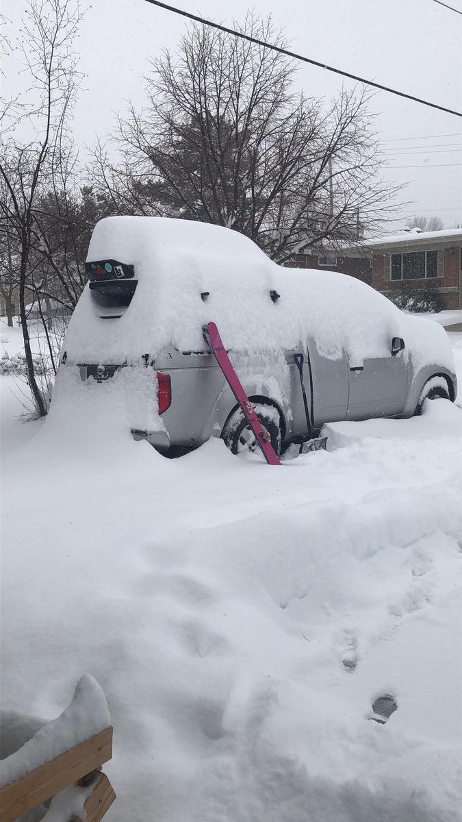
Photo of snow deposited in town
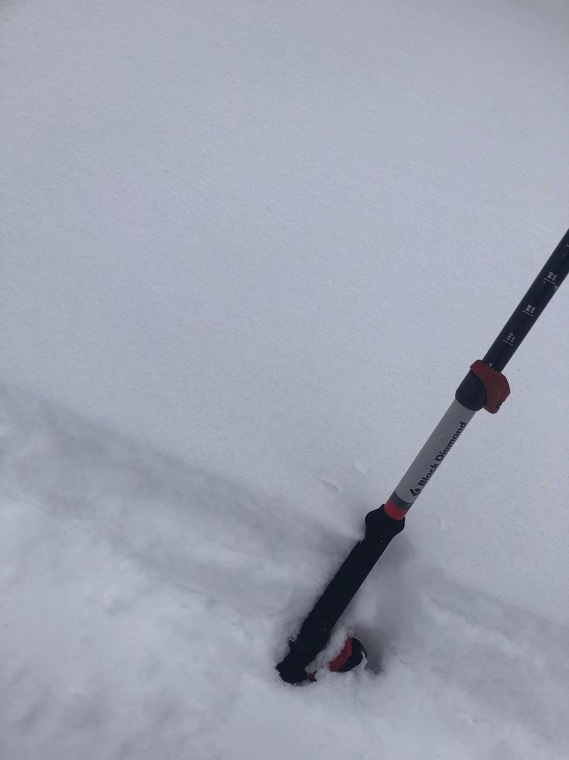
Versus new snow in Mill D
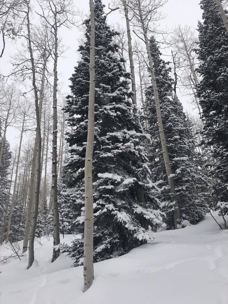
New snow on trees
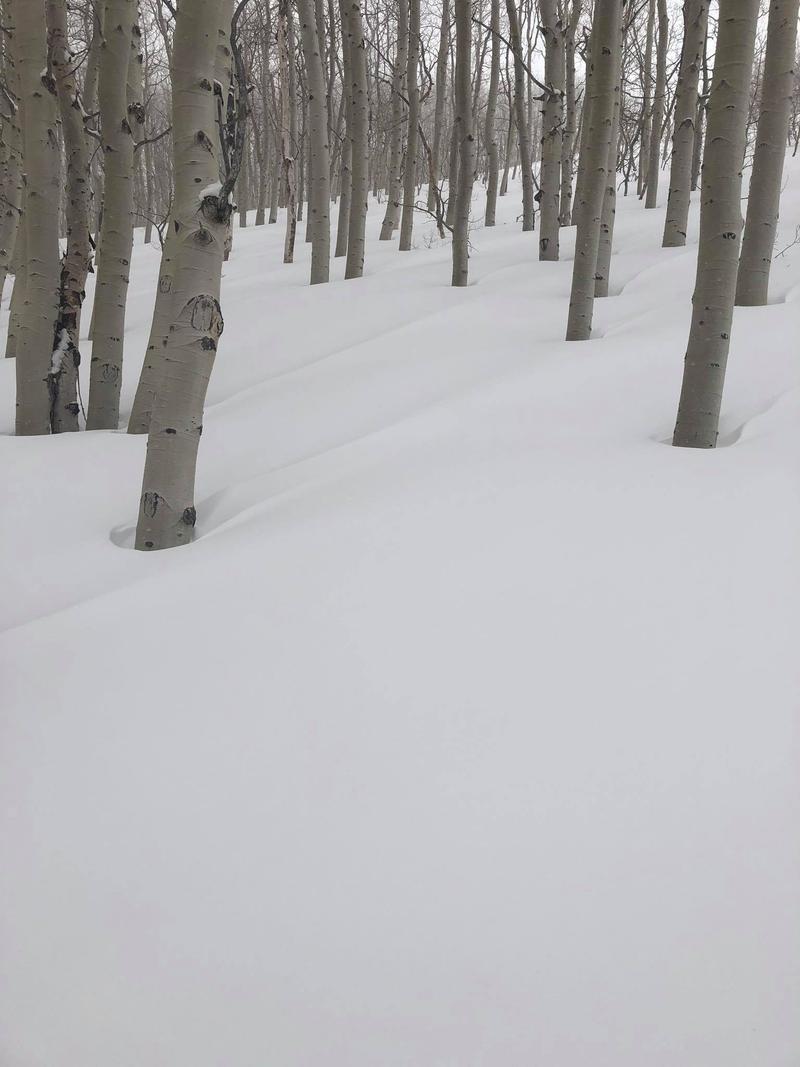
Wind texture on a west slope around 9200'
Today's Observed Danger Rating
Moderate
Tomorrows Estimated Danger Rating
Moderate


