Observation Date
2/2/2020
Observer Name
Champion
Region
Salt Lake » Park City Ridgeline » Monitors
Location Name or Route
Park City Ridgeline
Comments
There were obvious signs of snow being transported on the upper ridgelines, but we didn't see any cracking or whomping on our tour.
We primarily wanted to take a look at the variety of snow surfaces that the upcoming storm system is going to fall on. The south aspects have a stout melt-freeze crust that seems to be bonding pretty well to the snow beneath it. When I looked at the snowpack on a south aspect at 9600', I found that within the upper 50cm of the snowpack there are a variety of melt-freeze crusts, I did not get any results on any of these layers and when I further investigated there didn't appear to be any near-surface faceting occurring above or below any of those layers. With the upcoming cold temperatures, I would be interested to see if any faceting occurs either above or below the stout melt freeze on the surface, or any of the layers within the upper 50 cm of the snowpack.
Either way, I think the south-aspects will have a smooth bed surface leading to fast, long-running sluffs once we add some more snow.
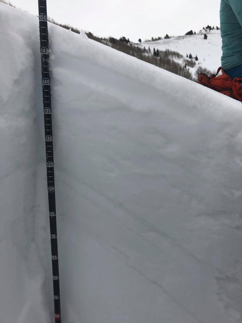
Photo of the upper 50 cm of the pit wall, with the obvious crusts.
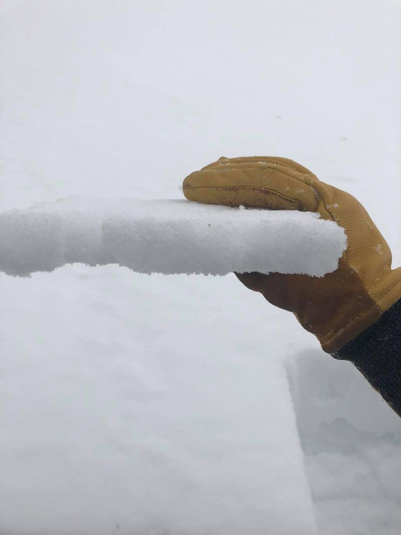
Stout crust from the surface of the pit on a south aspect.
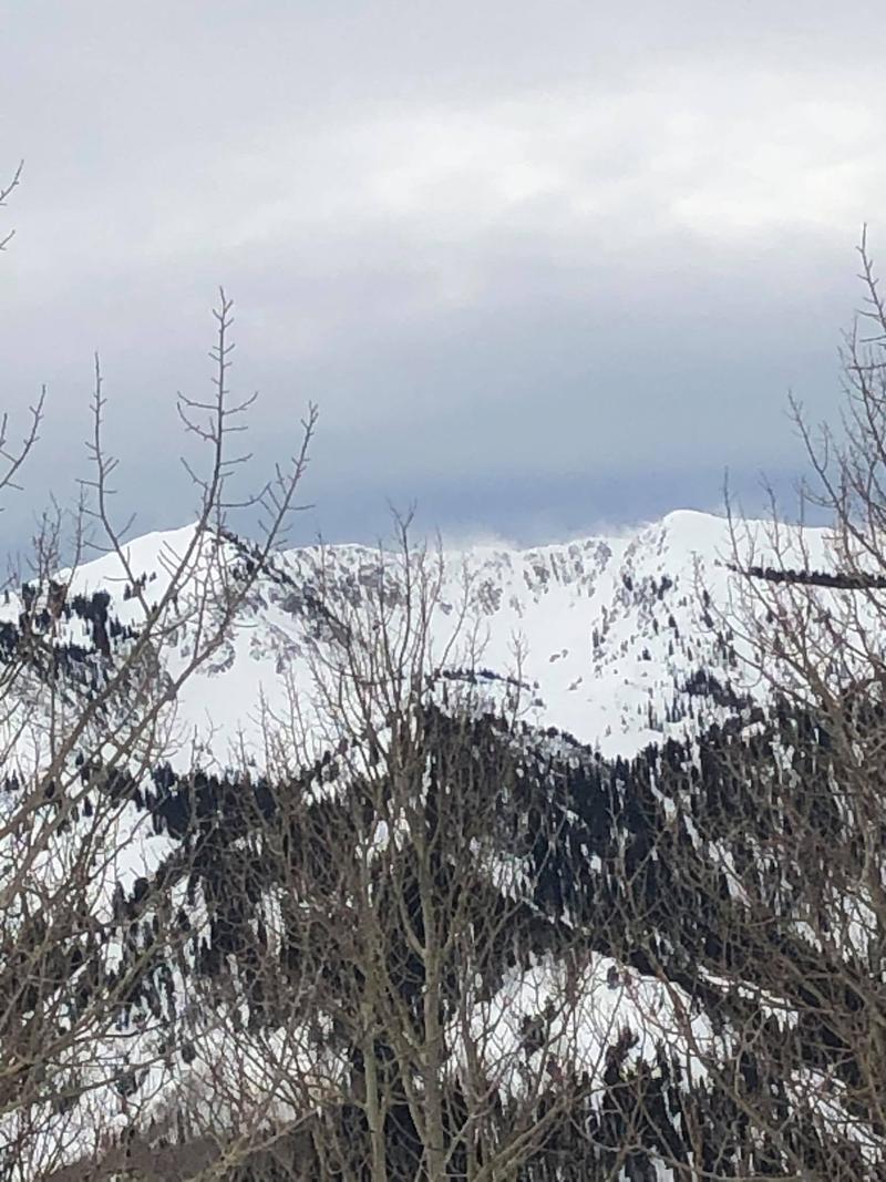
Flagging off ridgetops across Big Cottonwood Canyon.
Today's Observed Danger Rating
Moderate
Tomorrows Estimated Danger Rating
None


