Observation Date
1/28/2020
Observer Name
Ted Scroggin
Region
Uintas
Location Name or Route
Upper Whitney Basin
Weather
Sky
Obscured
Wind Direction
Northwest
Wind Speed
Light
Weather Comments
A few breaks in the clouds this morning and some brief periods of sun this afternoon, but the day was mostly thick low clouds and very limited visibility. Light northwest winds along the ridge lines, but generally calm conditions.
Snow Characteristics
New Snow Depth
6"
New Snow Density
Medium
Snow Surface Conditions
Powder
Wind Crust
Snow Characteristics Comments
About 6-8" new snow from the Monday storm around the upper Whitney area with 4" at the trail head and damp snow around 8,000'.
Red Flags
Red Flags
Wind Loading
Poor Snowpack Structure
Red Flags Comments
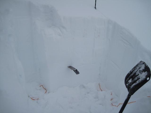
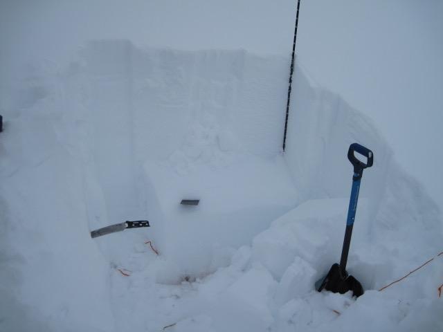
Recent northwest winds have created some wind drifted snow that would crack around skis and sleds. These were mainly on the east through southeast facing slopes and about a foot deep. I checked poor snow pack structure mainly for the south facing terrain where a recent avalanche was triggered and I was able to get a column of snow to propagate a crack, but it did take a number of hits on the shovel from the shoulder.
Avalanche Problem #1
Problem
Persistent Weak Layer
Trend
Same
Problem #1 Comments
Not normally too concerned with the south facing slopes in January, but there is some buried small grained faceted about two feet deep that might be a factor in the recent sled triggered slide on a southeast facing slope.
Avalanche Problem #2
Problem
Wind Drifted Snow
Trend
Decreasing Danger
Problem #2 Comments
Northwest winds have created some wind drifted snow on east through southwest facing slopes. These would crack about a foot deep around skis and sleds.
Comments
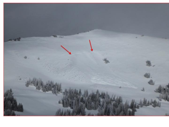
A photo from the weekend avalanche taken across the drainage. This southeast facing slope has a steep breakover around mid slope and was likely the trigger point?
I dug a quick snow pit on a somewhat similar aspect, but a little higher on the slope and was able to get a crack to propagate across a three foot wide column of snow. It did take several hard hits from the shoulder before it did fail.
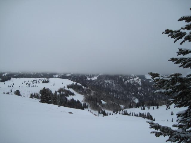
Visibility was pretty limited today with a thick cloud deck hanging around the higher terrain.
Today's Observed Danger Rating
Moderate
Tomorrows Estimated Danger Rating
Considerable
Coordinates