Observation Date
12/15/2019
Observer Name
Bo Torrey
Region
Salt Lake
Location Name or Route
Lake Hardy
Weather
Sky
Broken
Wind Direction
West
Wind Speed
Calm
Weather Comments
Overcast in the morning, gave way to partly cloudy skies and sunshine late morning into early afternoon. Clouds moved back in around 2:30 PM as winds picked up. Cold temperatures kept the southerly snow from becoming sun effected.
Snow Characteristics
New Snow Depth
16"
New Snow Density
Medium
Snow Surface Conditions
Powder
Snow Characteristics Comments
12"-18" of new snow above 9000' topped off with 6" of low-density powder. Great riding out of the wind effect.
Red Flags
Red Flags
Cracking
Poor Snowpack Structure
Avalanche Problem #1
Problem
New Snow
Problem #1 Comments
Only problem we observed today were these small loose snow avalanches. Most likely from high snowfall rates on Saturday.
Avalanche Problem #2
Problem
Persistent Weak Layer
Problem #2 Comments
North Facing slopes in the area mirror the snowpack of Little Cottonwood Canyon, the snow depths ranged from 100-140 cm with 6"-10" of facets near the ground.
Comments
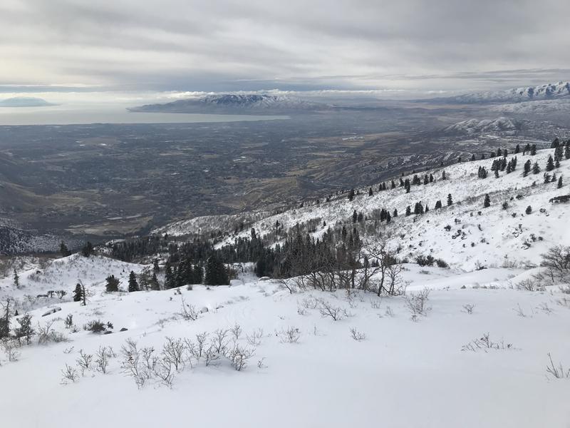
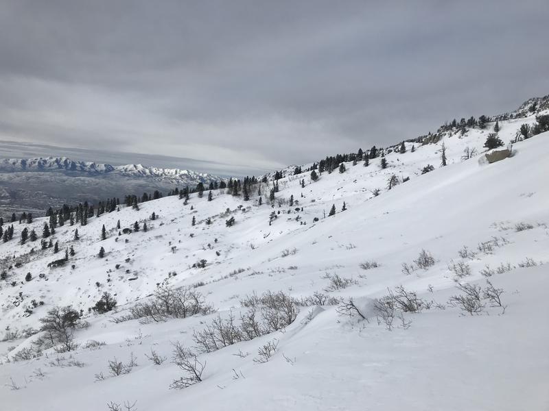
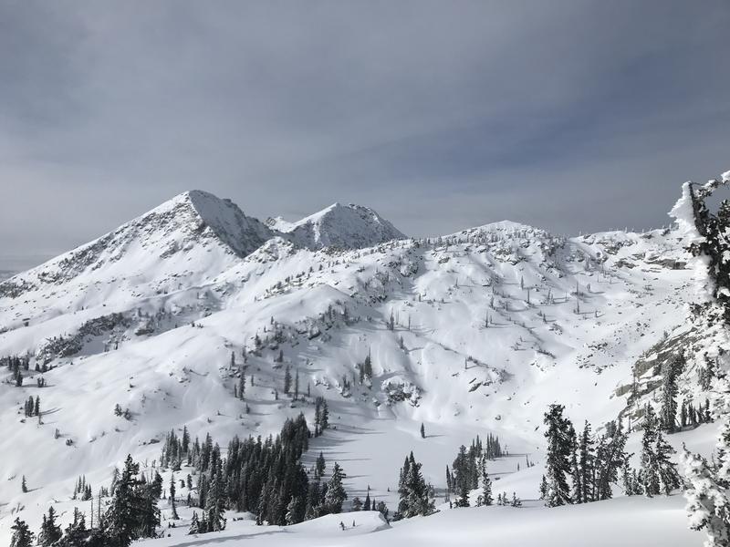
Price of admission is still high to access the Lake Hardy area with a dirt start, a couple thousand feet of scrub oak bushwhacking and skinning. Consistent snow cover begins about 7200'. The coverage up high is quite good with plenty of low angle options and 5-star views.
Photos of lower elevation snow coverage and upper elevation snow coverage.
Today's Observed Danger Rating
Considerable
Tomorrows Estimated Danger Rating
Considerable
Coordinates