Observation Date
12/6/2019
Observer Name
Fink
Region
Salt Lake » Mill Creek Canyon » west porter
Location Name or Route
West Porter
Comments
Simply put, the situation is that there is an ample storm slab sitting atop an unpredictably distributed weak layer on high northerlies. While the snowpack is gaining strength and avalanches may be harder to trigger, the potential to produce large avalanches persists and steep north facing terrain should likely remain red-lighted.
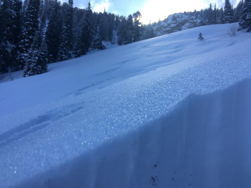
During today's travel, pole probing showed a widespread weak layer across the northerly slopes above 8000'. The thickness of the overlying slab and the depth of the facets is highly variable. In pits 2 and 3 mentioned above, these were maybe 40 yards apart and both snow depth and size of the weak layer were very different between the two. Additionally, surface hoar is forming atop the 2-3" of new snow in sheltered areas.
The snowpack appears to be gaining strength with rounding of the November facets. This weekend's storm may not be enough load to trigger a natural avalanche cycle, but it will overload the strenthening pack and make it easier to human trigger during ad immediately after the storm. Thankfully there's plenty of coverage on Southerly slopes to be able to ski the storm snow.


Today's Observed Danger Rating
Considerable
Tomorrows Estimated Danger Rating
Considerable
Coordinates


