Observation: Mill D North

Observation Date
4/9/2019
Observer Name
evelyn
Region
Salt Lake » Big Cottonwood Canyon » Mill D North
Location Name or Route
Mill D north, 7,400' to 9,000'
Weather
Sky
Overcast
Precipitation
Moderate Rain
Wind Speed
Calm
Weather Comments
Light rain showers til around 2 pm, then steady moderate rain. Rain/snow line at least 9,000'. Overcast skies to start, then clouds lowered.
Snow Characteristics
Snow Surface Conditions
Damp
Snow Characteristics Comments
Wet would be a more accurate descriptor than damp.
Avalanche Problem #1
Problem
Wet Snow
Problem #1 Comments
It seems tonight's and tomorrow's new snow will be landing on wet, saturated snow below about 9,000', and wet snow sluffs will continue to be an issue. The new snow will insulated the wet snow, and even when the temperatures drop, it will take some time for the wet snow to cool or drain. I think new snow slides triggered at these elevations will quickly change to slides with wet snow characteristics tomorrow.
At the upper elevations, tomorrow I'd be looking for new snow instabilities created by density inversions and high precipitation rates and wind drifts, with new snow slides running into mid elevation terrain also becoming more like wet snow slides.
Comments
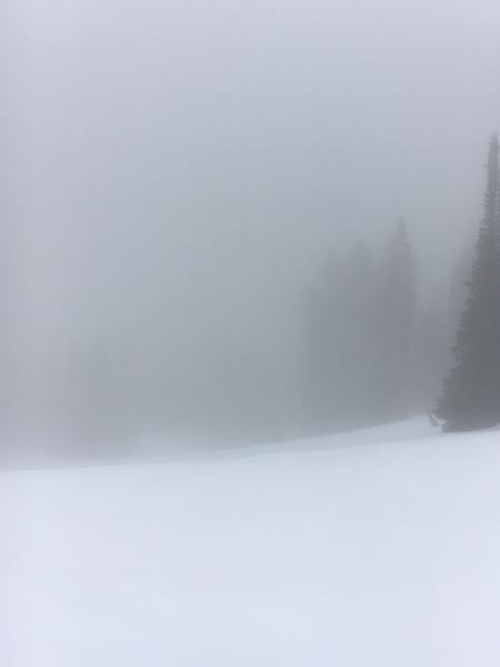
If you're skiing saturated, wet snow who cares if you can see?
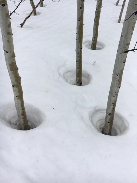
Melt cones, the opposite of settlement cones?
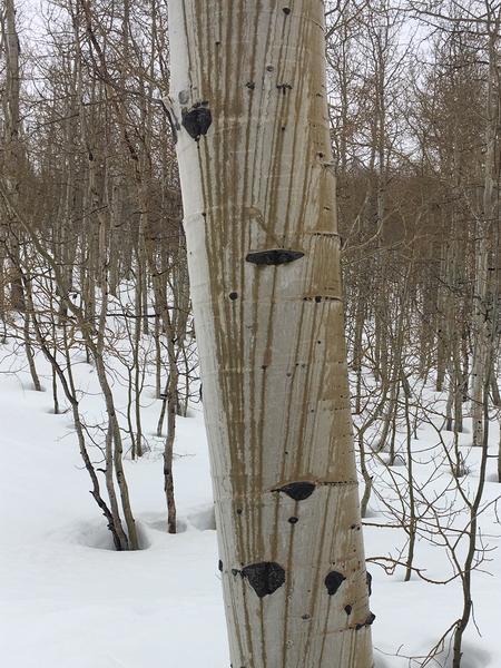
Cool stripes from the rain.
Today's Observed Danger Rating
Moderate
Tomorrows Estimated Danger Rating
None