Observation Date
3/24/2019
Observer Name
Bill Nalli
Location Name or Route
Raymond-Gobblers
Comments
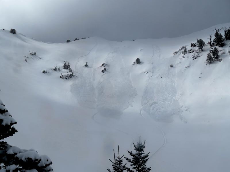
Our objective today was the Mt. Raymond Chutes and Gobblers but as the new snow piled up and visibility was poor for the first half of the day we decided to scale things back. High snowfall rates of S2-3 and poor visibility during mid to late morning stopped our ascent of Raymond as we expected sensitive SS in the steep E facing chutes. Skiing the Raymond shoulder was unexpectedly deep and relatively stable once of the ridgeline.
Gobblers E face was loaded near the ridge but without much of a slab we decided to enter after a well though out ski cut.
Loose snow was easily initiated near the ridge and as it descended to the mid slope break over it triggered a shallow wind slab about 20' wide. Upon descent a similar result occurred at the break over but was easy to ski out of in the terrain chosen.
I could imagine other areas where this type of slide could make for a bad situation but today in Gobblers was easy to manage.
The sun was kept at bay for most of the day but as soon as it hits slopes tommorrow we should expect WL slides that could easily entrain more snow and travel far.
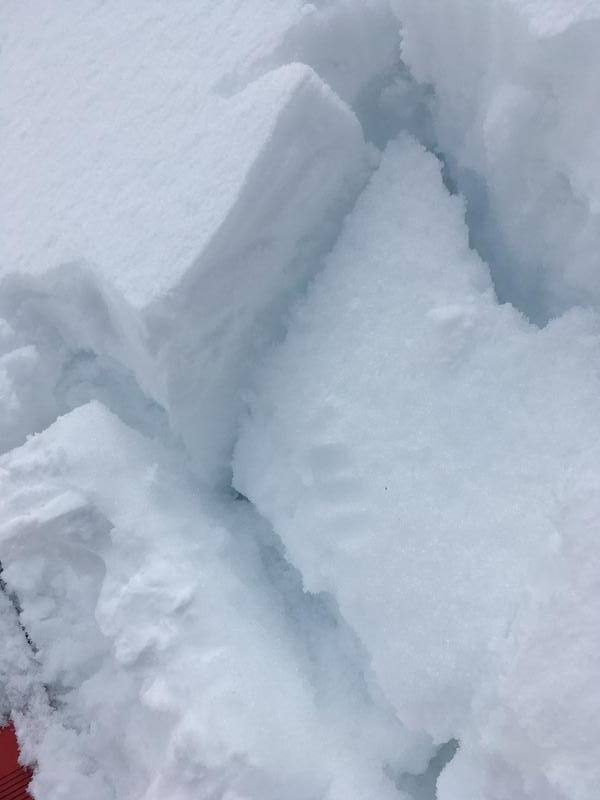
At low elevations the crust below the new snow was moist. I expect tommorrow to see easily initiated WL on all sunny aspects that could involve both the crust and the next few inches of faceted snow below.
Pic below is of moist facet below the MF crust.
Today's Observed Danger Rating
Moderate
Tomorrows Estimated Danger Rating
Moderate
Coordinates


