Observation: Whitney Basin

Observation Date
3/23/2019
Observer Name
Ted Scroggin
Region
Uintas » Bear River Ranger District » Whitney Basin
Location Name or Route
Whitney Basin
Weather
Sky
Overcast
Wind Direction
West
Wind Speed
Calm
Weather Comments
Day started mostly cloudy, thought the sun might make more of a showing, but just some brief peeks of sun before low clouds made for flat light. Hardly a whisper of wind along the ridge lines and temperatures stayed mild.
Snow Characteristics
New Snow Depth
4"
New Snow Density
Medium
Snow Surface Conditions
Powder
Melt-Freeze Crust
Damp
Snow Characteristics Comments
Kind of a rough ride into the Whitney area this morning with hard frozen tracks and cloudy skies. The 4" new snow did help cover some rough spots, but generally bumpy riding and a tricky crust thrown in for added fun.
Red Flags
Red Flags
Cracking
Red Flags Comments
Not sure if the minor cracking of fresh wind slabs were a big red flag, but could be an issue if folks were venturing into steep confined terrain. These should settle out today before the next round of snow moves in.
Avalanche Problem #1
Problem
Wind Drifted Snow
Trend
Decreasing Danger
Problem #1 Comments
Fresh wind slabs cracking up to a foot deep were easily managed along the ridge lines, these would just hit the slope below and create small loose new snow sluffs. Did not feel these were too much of a problem, but could stack up snow in gullies and confined terrain.
Comments
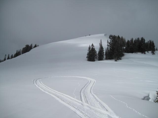
About 4" new snow since yesterday did help fill in some of the rough riding conditions today.
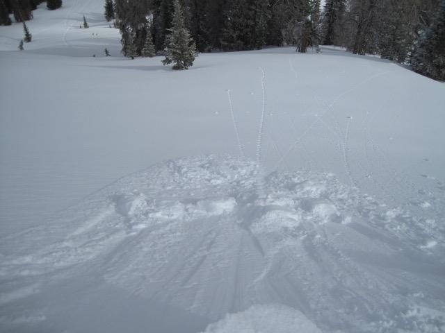
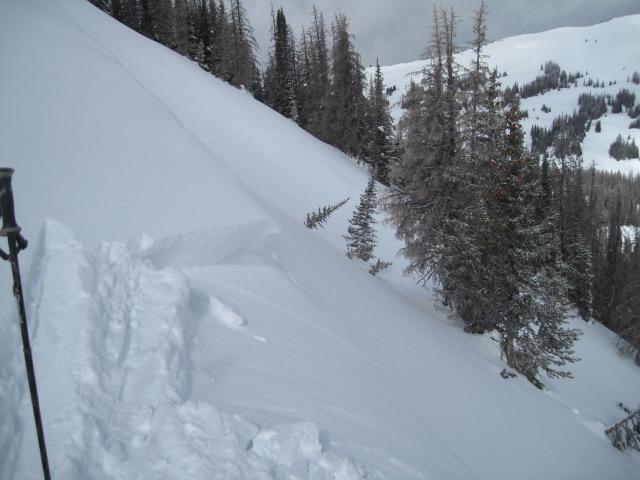
Some fresh soft wind slabs that were easily managed along the ridge lines today, these did not really bump the hazard up as they would crack and just sluff the new snow.
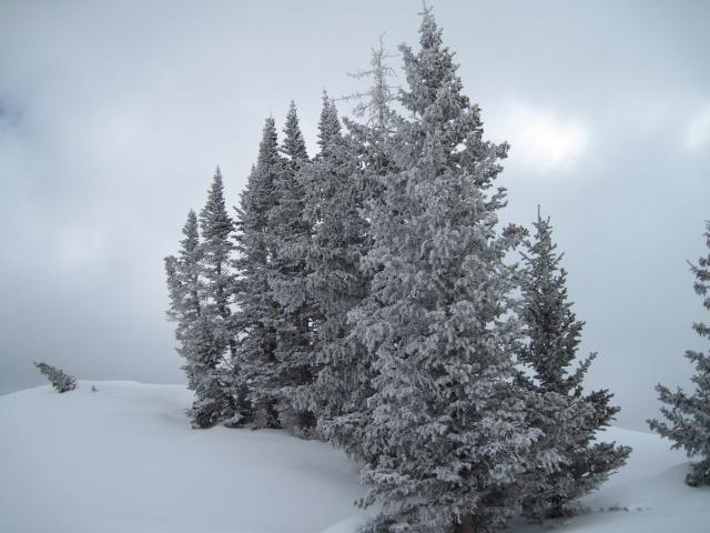
Was thinking the sun would be a factor today, but a few brief peeks early in the day and then clouds lowered and kept things mild and even the trees stayed frosty this afternoon.
Today's Observed Danger Rating
Low
Tomorrows Estimated Danger Rating
Moderate
Coordinates