Observation Date
3/14/2019
Observer Name
Kevin Dressel
Region
Abajos
Location Name or Route
North Creek Trees
Weather
Sky
Broken
Precipitation
Light Snowfall
Wind Direction
North
Wind Speed
Light
Weather Comments
It was a nice cold day with a light to moderate North wind. The sky started to clear up this morning then filled in with broken clouds the rest of the day with some light snow in the afternoon.
Snow Characteristics
New Snow Depth
6"
New Snow Density
Medium
Snow Surface Conditions
Powder
Dense Loose
Wind Crust
Melt-Freeze Crust
Rain-Rime Crust
Snow Characteristics Comments
There was enough new snow from the last few days to find good turning at all elevations as long you stayed out of the wind exposed slopes and areas where the wind channels, even in the tight trees in spots the snow was scoured. There was about 6-10" of new cold snow on top of saturated wet snow that actually made for a good base for turning. Barely felt the crust down low.
Red Flags
Red Flags
Recent Avalanches
Heavy Snowfall
Wind Loading
Red Flags Comments
Heavy snowfall and strong winds from the SE 2 days ago and then from the SW switching to the W NW yesterday and NW last night and it felt like mostly North today
Comments
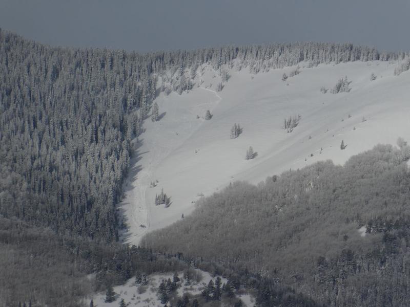
I spotted an avalanche in the Abajo's from my house in town in Monticello this morning. I wasn't able to get a close look but I'm pretty sure it was just the new snow.
Today's Observed Danger Rating
Considerable
Tomorrows Estimated Danger Rating
Moderate