Observation Date
3/7/2019
Observer Name
Bruce Tremper
Region
Salt Lake » Big Cottonwood Canyon » 10420
Location Name or Route
Peak 10,420
Comments
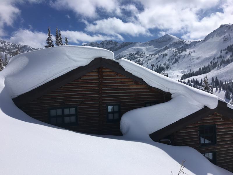
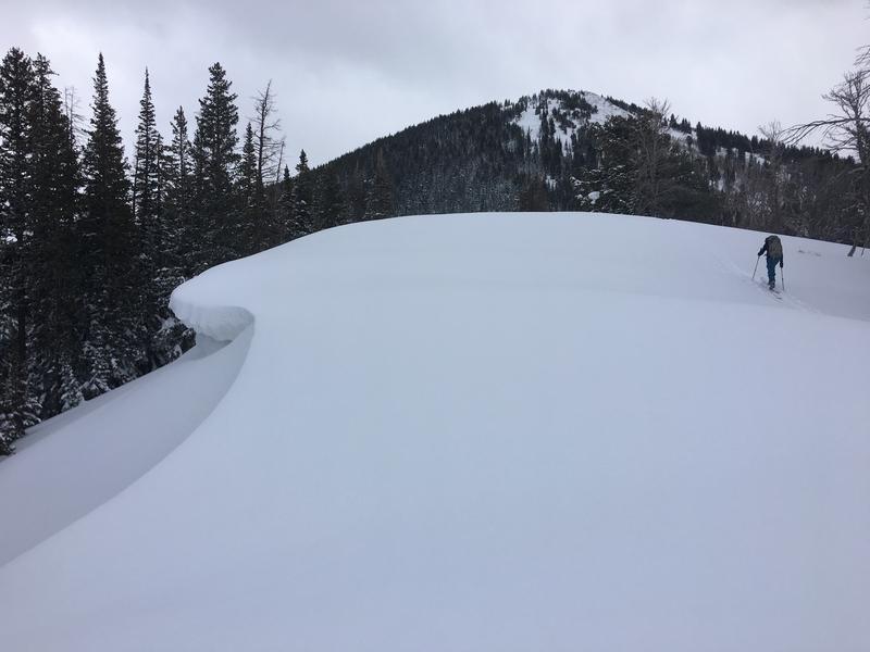
A couple of photos:
1) The obligatory cabin wind loading shot from Alta a couple days ago.
2) From today, heading up the ridge staying well back from the edge of cornices with high consequence slopes below.
Today's Observed Danger Rating
Considerable
Tomorrows Estimated Danger Rating
Considerable
Coordinates