Observation: Upper Weber Canyon

Observation Date
3/4/2019
Observer Name
jg
Region
Uintas » Upper Weber Canyon
Location Name or Route
Upper Weber Canyon
Weather
Sky
Scattered
Precipitation
Light Snowfall
Wind Direction
South
Wind Speed
Light
Weather Comments
Overcast skies in the morning but breaking by noon with blue skies until about 4:00 when clouds started rolling in with light instability showers. Winds were calm early but picked up as the day went on. Mostly just blowing snow out of the trees. No snow transport noted in our locale. Single digits to start the day with temps climbing into the the low twenties at 9K and teens at 10K. Pleasant in the sun.
Snow Characteristics
New Snow Density
Low
Snow Surface Conditions
Powder
Melt-Freeze Crust
Damp
Snow Characteristics Comments
About 15" of settled snow from last week's dribblers and the Saturday/Sunday snow. Any slope with a southerly aspect took on heat and there was a melt freeze crust by day's end; zipper to 1" thick.
Red Flags
Red Flags
Recent Avalanches
Rapid Warming
Poor Snowpack Structure
Avalanche Problem #1
Problem
New Snow
Trend
Decreasing Danger
Problem #1 Comments
Natural new snow instabilities noted on steep east facing slopes piling up a decent amount of snow on the uphill side of trees. Manageable sluffing in steeper terrain while skiing although they were long running.
Avalanche Problem #2
Problem
Persistent Weak Layer
Trend
Same
Problem #2 Comments
The persistent weaknesses are still there but getting buried deeper and appearing to be gaining strength.
Snow Profile
Aspect
North
Elevation
10,200'
Slope Angle
35°
Comments
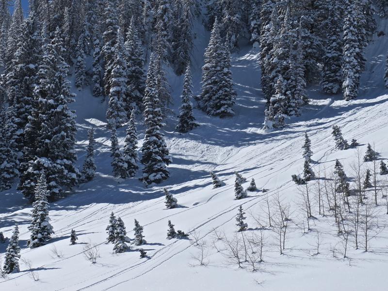
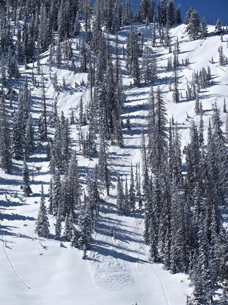
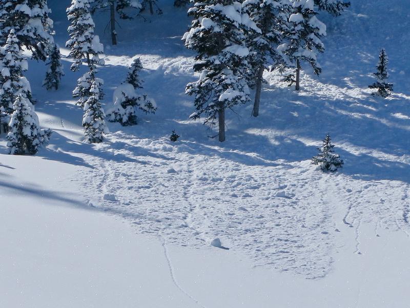
Natural new snow instabilities on steep east facing slopes.
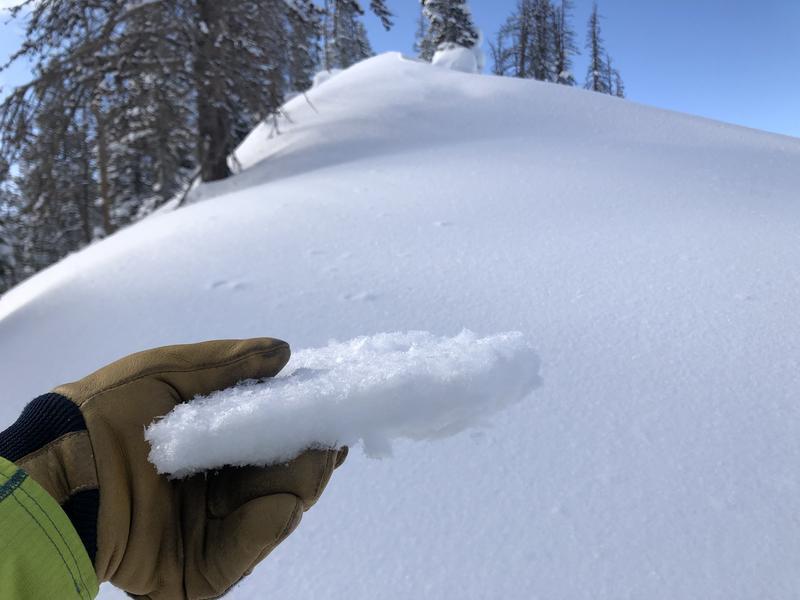
Crust from south facing slope above 10K.
The Uintas are nicely filled in and the riding conditions were excellent today. Stability has definitely rounded the corner toward a more stable snowpack but the range is huge and varied so diligence is advisable when assessing terrain for stability. Quick pits, probing for overall snow depth, being aware of red flag signals and aware of where and how you are traveling are still critical. Just because we may be dealing with a more stable snowpack doesn't mean all slopes are green light and you should forget about standard backcountry travel protocol.
Low to moderate danger depending on where you're traveling.
Today's Observed Danger Rating
Moderate
Tomorrows Estimated Danger Rating
Low