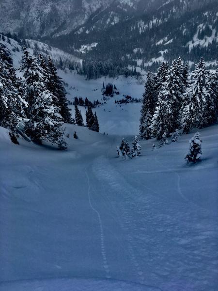
New snow noted is from 2/15 Friday overnight. Ranging from 1" to 6" in areas at 9400', observed very little slab characteristic in this layer and snow sloughed within itself rather than at the interface. That being said, some longer-running natural sloughs observed in Depth Hoar Bowl running past the concavity (Pic 1), possibly from Friday night's PI and wind. Thursday's rain crust was present below ~8400' and prominent on S and W windward slopes. Thursday night's higher density snow and graupel have adhered well to older snow in many areas and in the usually-scoured and fluted W-facing Alexander/Pole Canyon ridgeline have flattened the terrain out noteably.
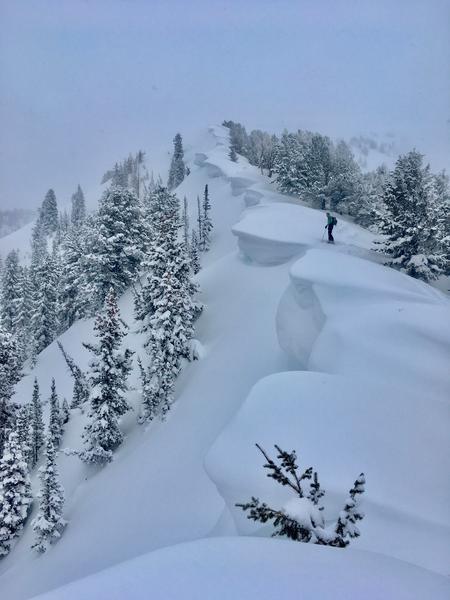
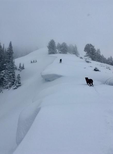
Cornices here are mature and the growth in the last 2 weeks is apparent in their layering (Pic 2 & 3). Though proportionately more growth on the N-facing than E-facing, all have grown and are worth knowing the earth ridge location and/or staying conservatively back from.