Observation Date
2/12/2019
Observer Name
Bruce Tremper
Region
Salt Lake » Neffs
Location Name or Route
Neff's Canyon
Weather
Sky
Broken
Wind Speed
Light
Weather Comments
High overcast increasing through the day.
Snow Characteristics
New Snow Depth
10"
Snow Surface Conditions
Powder
Snow Characteristics Comments
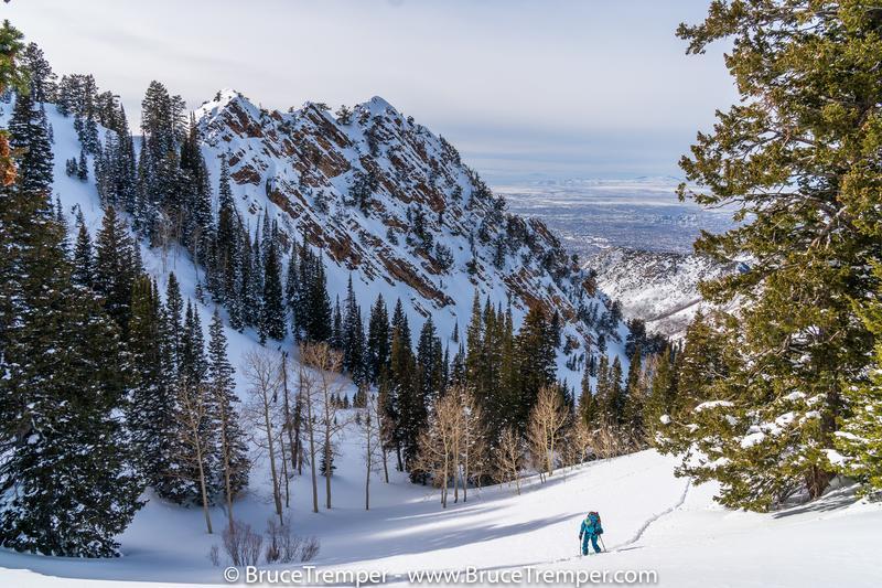
We broke a trail to the upper ridge of Neff's. There seemed to be a lot of tracks going up Thomas Fork so we took the road less traveled and had the place to ourselves. The storm finished off with about 10 inches of low density snow that skied very well on a firm, spongy base. No wind affects until we reached the upper ridges of Neffs Canyon. There was some sun crusting on sun exposed slopes especially at lower elevations.
Red Flags
Red Flags Comments
We didn't see any obvious red flags. There was some wind damage near the upper elevation ridges, as you would expect, but nothing was particularly sensitive. That place is fairly wind protected. I dug a quick pit at around 8,000' in a flat meadow. HS=150 cm. There was a faceted layer below stout crust at the interface at the base of the last storm. It was CT 26 at 60 cm down but was not propagating.
With the approaching storm, all the surface snow is low density and sparkly from a couple days of clear skies, so there's a good chance that the new snow won't bond so well the the present snow surface especially in upper elevation, wind protected terrain. But it's supposed to come in warm so it might bond better at lower elevations.
Comments
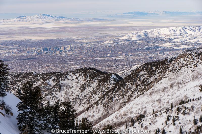
Just a couple of photos from upper Neff's just because--well, because it 's nice to look at photos. Photo #2 showing downtown SLC with the foothills where we skied yesterday above the Avenues. Ya gotta love the backcountry skiing so close to the city--both yesterday and today.
Moderate today for wind slabs but with the approaching storm forecast for warmer with lots of wind, it will likely rise to Considerable.
Today's Observed Danger Rating
Moderate
Tomorrows Estimated Danger Rating
Considerable
Coordinates