Observation: Elizabeth Pass

Observation Date
2/12/2019
Observer Name
Ted Scroggin
Region
Uintas » Elizabeth Pass
Location Name or Route
Elizabeth Ridge-north side
Weather
Sky
Broken
Wind Direction
Southwest
Wind Speed
Moderate
Weather Comments
Periods of sun and slightly overcast skies with fairly steady and gusty southwest winds along the Elizabeth Ridge line.
Snow Characteristics
New Snow Depth
5"
New Snow Density
Medium
Snow Surface Conditions
Powder
Dense Loose
Wind Crust
Snow Characteristics Comments
Lots of wind affected snow along the very exposed ridge lines and nice settled soft snow in sheltered areas. Maybe 5" new since the snow started late on Saturday.
Red Flags
Red Flags
Wind Loading
Cracking
Red Flags Comments
In this zone, the winds are usually the big red flag as the north side of Elizabeth Ridge is a large wind fetch with very little terrain to slow the wind down.
Avalanche Problem #1
Problem
Wind Drifted Snow
Trend
Increasing Danger
Problem #1 Comments
Lots of cracking of fresh wind slabs today, these were quite sensitive to the weight of a person and were breaking up to a foot deep. These could easily be much deeper where the winds are stronger and the terrain more exposed. None of these broke into older snow, but I kept to lower angle slopes.
Avalanche Problem #2
Problem
Persistent Weak Layer
Trend
Increasing Danger
Problem #2 Comments
Sensitive wind slabs were the immediate hazard, but any of these could easily step down into the buried faceted layers that are still active as recent avalanches have shown.
Comments
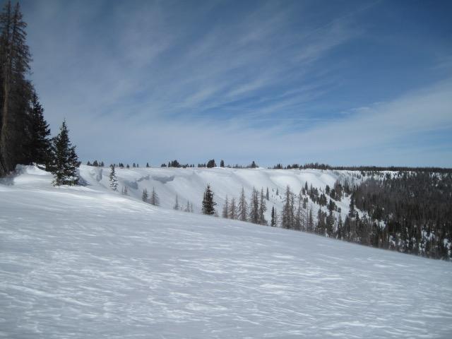
Took a visit to the Elizabeth Ridge area where winds and blowing, drifting snow is the norm. This northeast facing slope becomes heavily wind loaded and it is not uncommon to see some large cornice triggered slides break to the ground.
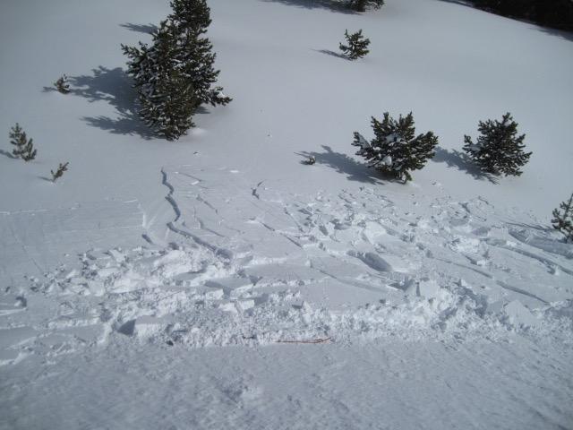
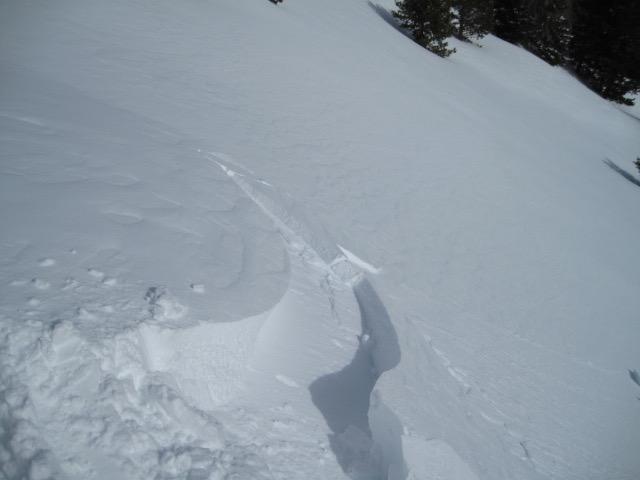
Easily triggered shallow wind slabs along the ridge lines today with steady and gusty southwest winds. None of these broke into older snow, but in bigger more open terrain and with a snow structure that is still touchy, large deeper slides would be very possible.
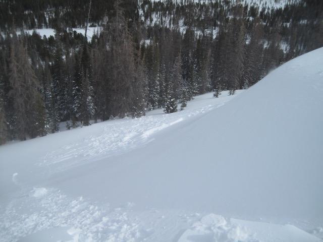
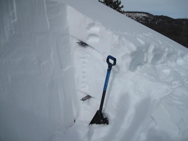
A couple layers in the snow pack that stood out in this area are the old snow surface prior to the bigger storms last week and a buried faceted layer near the bottom of the pack. The upper layer would crack with a clean planer shear, but not a lot of energy and no propagation with either one.
Today's Observed Danger Rating
Considerable
Tomorrows Estimated Danger Rating
Considerable
Coordinates