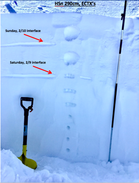
8" of 2/10 new snow on top of Saturday 2/9 new snow made for glamorous conditions in areas sheltered from ridgetop scouring/deposit. 15 meters down from the Reed Benson ridgeline on a ENE face ~10,000' we found an HSn of 290cm with a very stable and right-side-up upper 130cm. The 2/9 and 2/10 storms despoisted thin graupel layers on the front end of precipitation but while skiing only the steepest of rollovers produced any new snow interface weakness. The graupel layers were observed at 20cm and 45cm down. (Pic 1)
Tests at this aspect/elevation showed ECTX and SSTs very stubborn, breaking apart Q3 within the 4F part of the slab ~60cm down. Observed no notable new snow activity in Days, Cardiff, or Silver from the ridge.
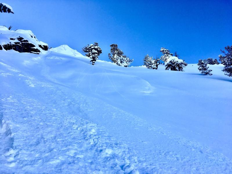
In passing by steep terrain at the base of a rockband in Days Draw found a narrow isolated section that had failed in old snow and now was covered by storm snow. debris was present several hundred feet lower but was the only PWL activity visible in our area. (Pic 2)
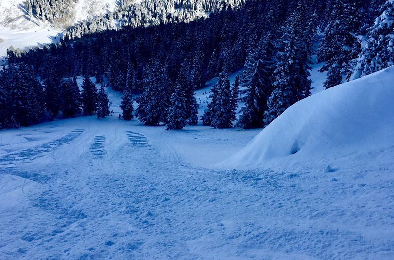
Only one area on a hard convex rollover showed natural soft storm slab activity ~6-8" deep. (Pic 3)