Observation Date
2/11/2019
Observer Name
Bruce Tremper
Region
Salt Lake » Foothills
Location Name or Route
City Creek - hills above the Avenues
Weather
Sky
Clear
Weather Comments
Beautiful, clear sunny day with cool temperatures
Snow Characteristics
Snow Characteristics Comments
Yes, the snowpack is thin at this low elevation (6,000'), just above Salt Lake City, but there was good coverage in non wind-scoured areas. It was really nice, fast turning conditions in about 10 inches of new snow, denser on the bottom finished off with about 5 inches of light powder on the top. Yesterday on a quick walk up City Creek, I could see lots of wind transport along these ridges so my wife Susi and I had a couple spare hours today and we went up to check it out.
Red Flags
Red Flags
Wind Loading
Red Flags Comments
There was lots of obvious wind erosion and deposits on most of the slopes near the ridges and even down off the ridges from the very strong south winds yesterday. But they were all non reactive from my experience. We took 7 runs on 7 different northerly facing slopes on the City Creek side of the ridge and I did not find any of the pre-existing wind slabs to crack or react. I think the new snow from last night fell on a warm surface and it bonded quite well even though there was very blustery wind until the cold front passed in the middle of the night. The warm surfaces and warm snow at the beginning of the blizzard last night seem to have bonded quite well. I probed with my pole many times and did some quick hand pits but I could not find any buried faceted weak layers that looked like they might be a problem.
Comments
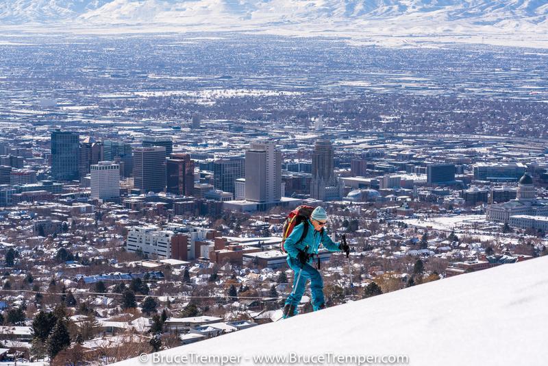
Photo 1, the obligatory photo skiing above downtown Salt Lake City. You just gotta take these photos when you can.
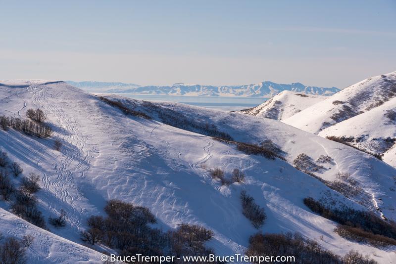
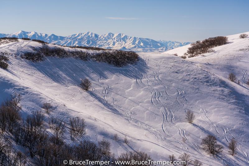
Photo 2 and 3: some examples of the wind damage before and during last night's storm. But we skied 7 runs on 7 different slopes on the northerly facing terrain into City Creek and they were all non-reactive.
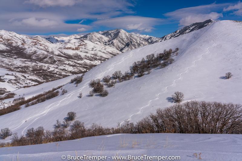
Photo 4: Pretty good long runs with good coverage on fast, shallow new snow with nice light powder on top.
Today's Observed Danger Rating
Moderate
Tomorrows Estimated Danger Rating
None
Coordinates