Observation Date
2/5/2019
Observer Name
jg
Region
Uintas » Hoyt Peak
Location Name or Route
Hoyt
Weather
Sky
Overcast
Precipitation
Light Snowfall
Wind Direction
South
Wind Speed
Strong
Weather Comments
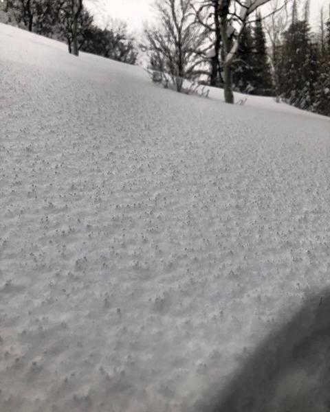
Another day of fierce south winds finding its way well off the high ridges, down in canyon bottoms and in mid elevation sheltered terrain. On and off snow fall through the day with about an inch of accumulation, although it was a little hard to gauge due to the amount of snow moved by the strong winds. Periods of heavy snowfall, albeit short and occasional graupel. Temps in the upper teens to low twenties at 9K.
Snow Characteristics
New Snow Depth
2"
New Snow Density
Low
Snow Surface Conditions
Powder
Dense Loose
Snow Characteristics Comments
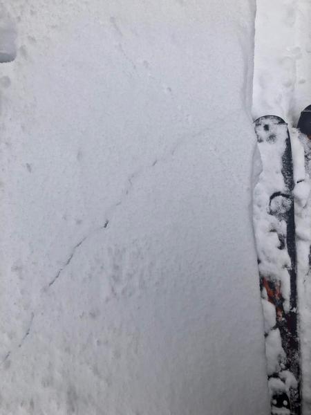
2"-4" of new snow overnight. Excellent skiing and riding conditions in mid elevation sheltered terrain. Yesterday's snow has settled a bit and wasn't as punchy as yesterday. Winds have been finding their way in terrain at all elevations and aspects.
Red Flags
Red Flags
Heavy Snowfall
Wind Loading
Cracking
Collapsing
Poor Snowpack Structure
Red Flags Comments
The amount of new snow/water weight and unrelenting south winds are the biggest red flags.
Avalanche Problem #1
Problem
Persistent Weak Layer
Trend
Increasing Danger
Problem #1 Comments
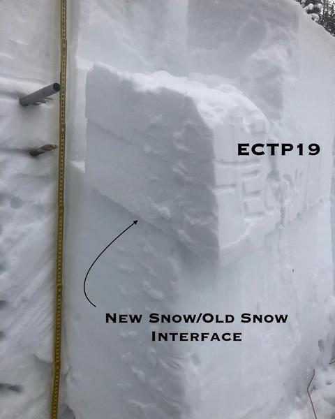
The faceted snow the new storm snow fell on is not bonding very well and is producing clean shears with medium effort to fail. With almost two feet of snow and over 2" of water, a slide in the new snow would be no joy ride. Although more stubborn in field tests, the deeper persistent weaknesses are also failing with clean shears. The early January dry spell as well as the December dry spell interfaces are still showing weak bonding. A slide failing or stepping down to these layers would be catastrophic.
Avalanche Problem #2
Problem
Wind Drifted Snow
Trend
Same
Problem #2 Comments
Steady strong winds from the south since Sunday have been moving massive amounts of the new storm snow. Wind speeds in the 20's, 30's, 40's and 50's with gusts in the 80's at times are a real game changer. Winds look to calm down a bit and shift to the NW.
Snow Profile
Aspect
Northwest
Elevation
9,200'
Slope Angle
25°
Comments
Not much more to say. Lots of wind and lots of snow will put a lot of stress on the snowpack. More snow on the way through tomorrow will add to the mix but at least this storm will be less windy and colder. Patience is your best friend right now. Play the slope angle game and stay out of the wind zone. Low angle terrain out of the wind zone offers great riding right now even with the amount of new snow we've received. If you're traveling in steep terrain you should expect a considerable danger of avalanches. If you're traveling in the wind zone on the north half of the compass the danger is high and you should expect avalanches.
Today's Observed Danger Rating
Considerable
Tomorrows Estimated Danger Rating
Considerable