Observation: Cutler Ridge

Observation Date
1/20/2019
Observer Name
Megan and Bill
Region
Ogden » Ben Lomond » Cutler Ridge
Location Name or Route
Cutler Ridge
Weather
Sky
Overcast
Wind Direction
Southwest
Wind Speed
Moderate
Weather Comments
Today was a warm and windy one. Temps were in the high 30s and we recorded 41 degrees F at 7,200ft around 1:30pm.
Snow Characteristics
Snow Surface Conditions
Damp
Snow Characteristics Comments
Snow was damp up to at least 8,000 ft though noticeably more sticky at lower elevations. There was little to no snow available for transport. With moderate winds no snow transport was observed, even on the upper ridges. Trees at upper elevations were covered with rime. Warm temps or rime may be the reason for no snow transport on upper ridges where snow transport would be expected. With the warmer temperatures there is less of a temperature gradient within the snow. This may be helping to heal the snow pack. Our quick pit (100 cm deep) showed no signs of PWLs, but with obvious wind loading and deep snow pack (220 cm) we may not have dug down far enough to get to them.
Red Flags
Red Flags
Heavy Snowfall
Poor Snowpack Structure
Red Flags Comments
Heavy snowfall over the past couple of days has created a significant load. ECT yielded some results with no propagation and a rough sheer in what appears to be a density change within the new snow. Slope was wind loaded, protected, and tends to maintain surface hoar.  PWLs have been observed by others in the past couple of days in the Cutler area, though we found no evidence of them in our pit. No PWLs were seen in the upper 100 cm of the pit where the height of snow was 220 cm. There is a chance that they are buried deeper in that location.  Chose to stick to low angle terrain today.
Avalanche Problem #1
Problem
New Snow
Trend
Increasing Danger
Problem #1 Comments
Dug a pit on a NE aspect at 7,200ft. ECT11 in a layer about 25 cm from the surface and ECT26 in a layer about 50 cm from the surface with no propagation and Q3 sheer. Failures were in the new snow, possibly a density change during the storm. With more new snow forecasted for Monday this problem will continue with increasing danger.
Avalanche Problem #2
Problem
Wet Snow
Trend
Decreasing Danger
Problem #2 Comments
Snow was sticky and rollerballs began to form from ski turns, see pictures below. With temperatures forecasted to decrease this avalanche problem will go away for the next couple days.
Comments
ECT on a NE facing slope at 7,200ft.
Video
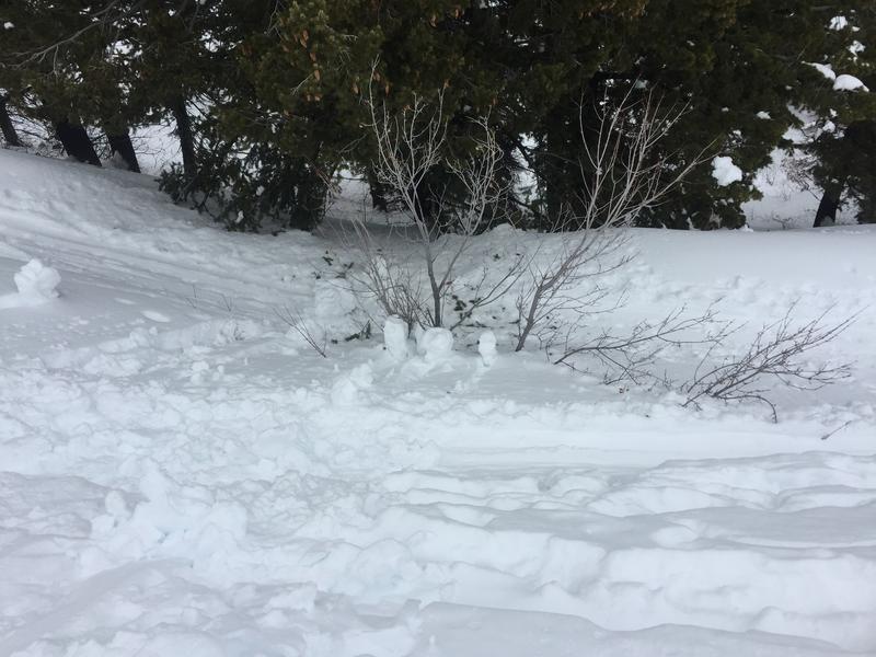
Rollerballs initiated by a ski turn.
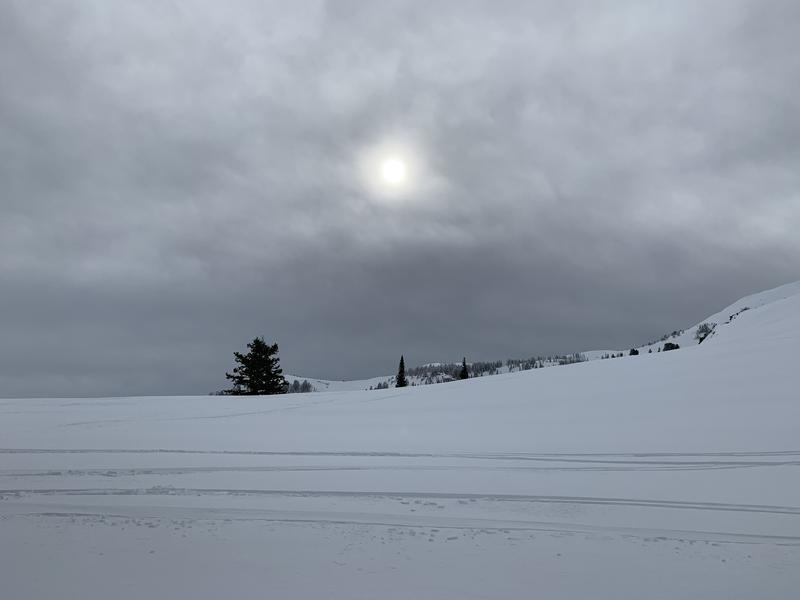
Moderate winds with no snow transport. Rimed up trees in background on upper ridge.
Today's Observed Danger Rating
Considerable
Tomorrows Estimated Danger Rating
Considerable