Planned Website Outage: The UAC website will be down for maintenance on June 17 from 2:00 - 7:00 PM MT.

Observation: Lewis Peak Area

Observation Date
1/9/2019
Observer Name
Ben and Kory
Region
Ogden » Lewis Peak Area
Location Name or Route
Lewis Peak area
Weather
Sky
Few
Precipitation
Light Snowfall
Wind Speed
Moderate
Weather Comments
The Ogden mountains had the feel of the big island today with the tropical warm temps, big wind waves/cornice and surfy low angle pow turns. Light winds at the lower elevation with moderate winds at the ridge tops.
Red Flags
Red Flags
Collapsing
Rapid Warming
Poor Snowpack Structure
Red Flags Comments
The lower elevations are still what are scary to me right now. Lots of well connected whoomphing and collapse today in the lower (below 7,000 ft) N-NE aspects. While breaking trail the snow seems to fall away and fall apart under foot. Add a slab on top and we could have some issues in below 7,000 ft. There is a noticeable change in the snow quality below and above approximately 6,500- 6,700 feet depending aspect and how sheltered it is. At the upper elevations things seem to be settling out a little. Multiple wind loaded test slopes refused to fail, with that said I would still be cautious of a stubborn wind slab in heavily loaded areas. Solar aspects at almost all elevations were starting to form a crust as temps cooled down.
Snow Profile
Aspect
East
Elevation
6,600'
Slope Angle
35°
Comments
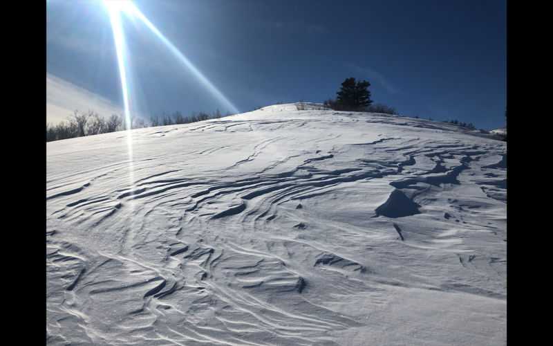
Still have a buried surface hoar layer that could cause problems later.
Today's Observed Danger Rating
Moderate
Tomorrows Estimated Danger Rating
Moderate