Observation Date
12/31/2018
Observer Name
B. Brandt, L. Fortin
Region
Ogden » Ben Lomond » Rodeo Ridge
Location Name or Route
Rodeo Ridge
Weather
Sky
Broken
Wind Direction
Northeast
Wind Speed
Moderate
Weather Comments
Skies began to clear later in the day. Cold wind on mid elevation ridges. Strong winds and large snow plumes noted on the summit of Ben Lomond Peak. Direction of wind varied from east to northeast. Snow was blowing heavily at times, snow on the ridges was eroding and drifts were forming down wind.
Snow Characteristics
New Snow Depth
4"
New Snow Density
Low
Snow Surface Conditions
Powder
Dense Loose
Faceted Loose
Wind Crust
Rain-Rime Crust
Snow Characteristics Comments
Wind damaged snow was extensive and visible along mid and upper ridges. Wind deposition and crusts were noted along both sides of ridges dependent on wind direction over the last several days. There is a 1/4 inch rime crust buried under 4 inches of new above about 7200 ft. Below 7000 ft there is extensive faceting on the ground in thin snow pack areas. This was also noted at 8,000 ft in a thinly covered rocky area.
Red Flags
Red Flags
Wind Loading
Cracking
Poor Snowpack Structure
Red Flags Comments
Widespread wind loading, hard and soft slab formation was observed. Very minor cracking without collapsing. Very weak snow is forming on the ground due to cold and temperature gradient. No natural avalanche activity was seen today.
Avalanche Problem #1
Problem
Wind Drifted Snow
Trend
Same
Problem #1 Comments
Drifts of soft snow were not very reactive to ski cuts. We did not venture out onto any hard slabs. Minor cracking along the edges of hard slabs.
Comments
The observed rime crust could be a player in future avalanche conditions secondary to adjacent faceting. Depth hoar is forming at lower elevations and in thin snow pack areas. Surface faceting mostly getting destroyed by wind.
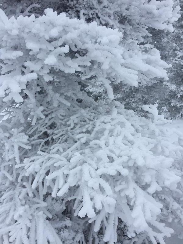
Rime covered tree.
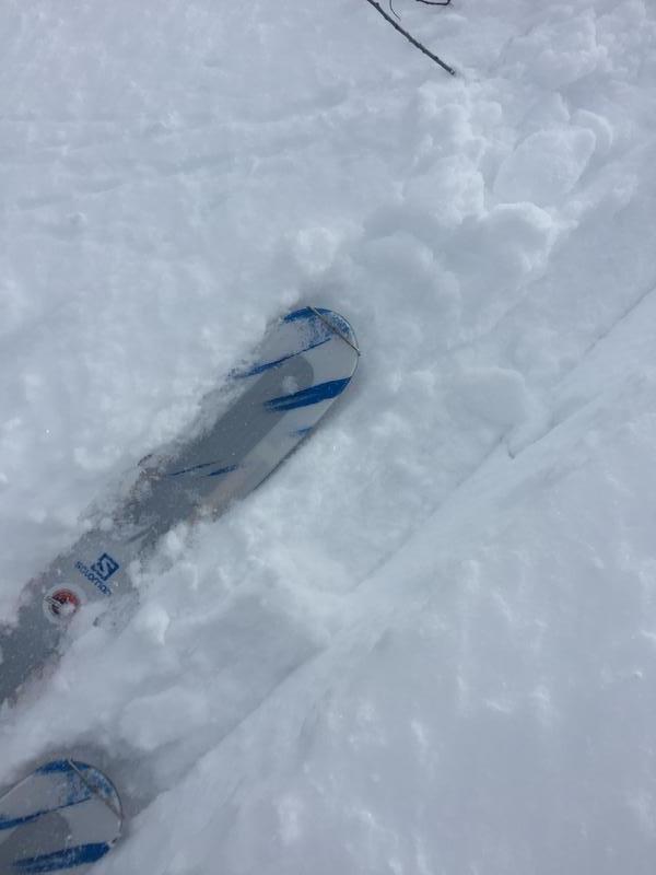
Rime crust before yesterdays new snow.
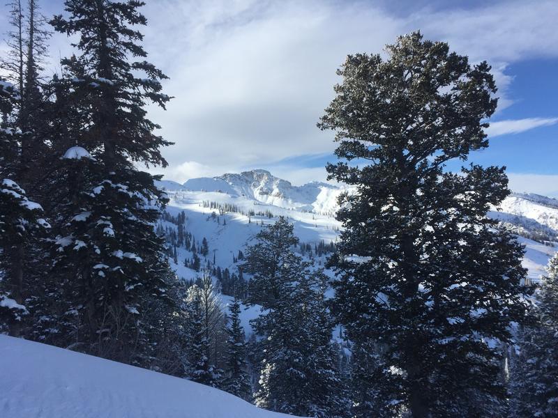
Willard Peak.
Mostly moderate hazard in areas that we skied at mid and low elevations. Considerable hazard along upper ridges and peaks.
Today's Observed Danger Rating
Considerable
Tomorrows Estimated Danger Rating
Considerable