Observation: Broads Fork

Observation Date
12/31/2018
Observer Name
Meisenheimer/Gagne/Duvernay
Region
Salt Lake » Big Cottonwood Canyon » Broads Fork
Location Name or Route
Broads Fork
Weather
Sky
Scattered
Wind Direction
Northeast
Wind Speed
Strong
Weather Comments
Relatively calm conditions until NE/E winds began to ramp up about mid-day, affecting terrain down to about 7800'.
Snow Characteristics
New Snow Depth
10"
New Snow Density
Low
Snow Surface Conditions
Powder
Wind Crust
Snow Characteristics Comments
Very low-density snow at the snow surface, but also easy for winds to pick up and drift.
Red Flags
Red Flags
Wind Loading
Poor Snowpack Structure
Avalanche Problem #1
Problem
Wind Drifted Snow
Trend
Decreasing Danger
Problem #1 Comments
By 4 pm we were finding sensitive pockets of fresh drifts as low as 7800' 5-15 cms thick. NE/E winds were drifting and cross-loading snow on all aspects at mid and upper elevations. The few pockets we encountered were sensitive, and may remain sensitive for Tuesday.
Avalanche Problem #2
Problem
Persistent Weak Layer
Trend
Same
Problem #2 Comments
Much focus has been on the "October facets" that are found on upper elevation aspects facing northwest through east. In areas of the upper Cottonwoods where there is a strong, 1+ meter slab on top of the facets down near the ground it is less of an issue. This past week we have been looking at areas with a thinner snowpack, less than a meter. In these areas the old snow underneath the snowfall since Christmas has been faceting, and with cold, clear weather forecast for the next several days this snowpack will continue to weaken. Currently there is not a cohesive slab on top, but with an additional load of new snow and/or wind-blown snow, we may see these mid-pack faceted layers become active.
Comments
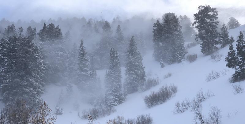
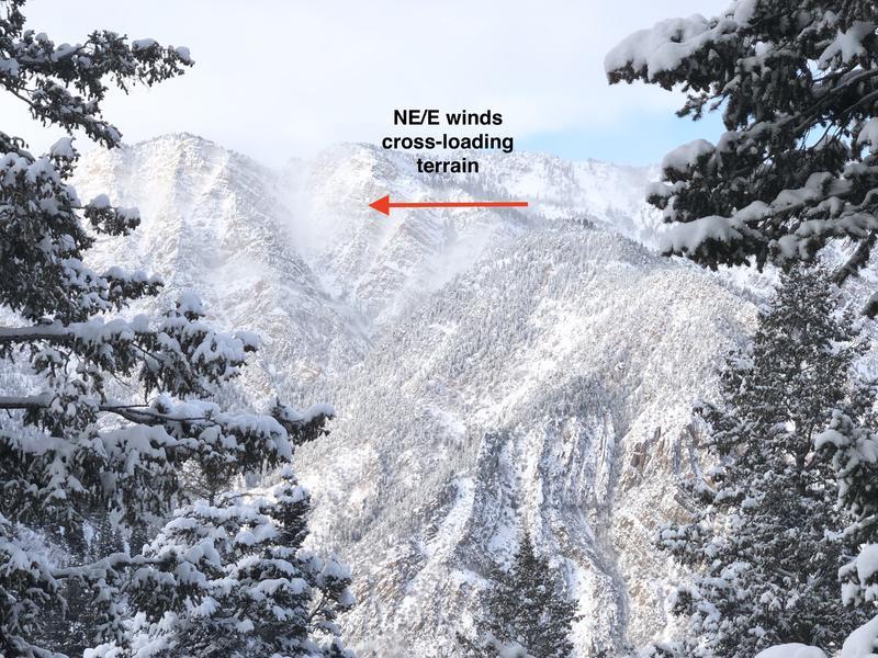
Photos of strong NE/E winds in mid-elevation terrain, cross-loading in upper elevation terrain, and a video of strong winds.
Video
Trent describing the current structure in areas with a thinner snowpack.
Video
Today's Observed Danger Rating
Moderate
Tomorrows Estimated Danger Rating
Moderate