Observation Date
12/19/2018
Observer Name
Ted Scroggin
Region
Uintas
Location Name or Route
Whitney Basin-Double Hill
Weather
Sky
Broken
Wind Direction
Southwest
Wind Speed
Moderate
Weather Comments
Hard to escape the wind today, it was strong to moderate early in the day, but it did start to let off a little in the afternoon.
Snow Characteristics
New Snow Depth
2"
New Snow Density
Medium
Snow Surface Conditions
Powder
Wind Crust
Snow Characteristics Comments
The two inches of new snow helped soften the ride from the recent winds exposing old hard tracks.
Red Flags
Red Flags
Wind Loading
Cracking
Poor Snowpack Structure
Red Flags Comments
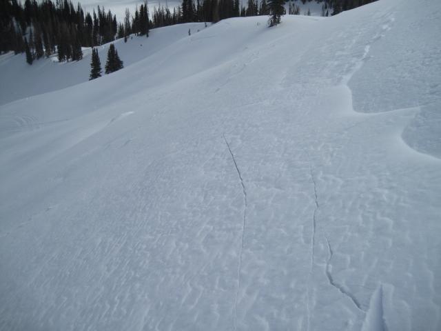
Moderate to strong winds were the main red flag today. The couple inches new snow was getting blown into drifts and wind slabs in exposed terrain. Some of these would crack ahead of skis and sleds, but I did not find these overly reactive.
Avalanche Problem #1
Problem
Wind Drifted Snow
Trend
Decreasing Danger
Problem #1 Comments
Fresh wind drifts off the ridge lines would crack with a persons weight, but I did not find these very sensitive. I would imagine on steeper slopes these would be more reactive and a bigger issue. A day of less wind and milder conditions, these should settle out .
Avalanche Problem #2
Problem
Persistent Weak Layer
Trend
Same
Problem #2 Comments
Can't ignore the layer of sugary faceted snow near the ground, but the slab above this layer seems relaxed and I was not able to get a crack to propagate in snow pits.
Comments
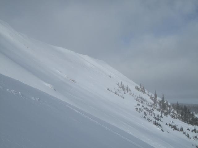
1. Anywhere from 2-3' in the Double Hill area and the riding is not too bad given the lack of recent snow. The loose sugary snow near the ground appears to be adjusting to the slab above. 2. A poor photo showing bushes still showing on Double Hill, but things have been slowly filling in.
Fresh wind drifts would crack ahead of skis and sled and with more slope angle these would likely have released.
Today's Observed Danger Rating
Moderate
Tomorrows Estimated Danger Rating
Moderate
Coordinates