Observation Date
12/9/2018
Observer Name
Paradis / Gibson
Region
Salt Lake » Big Cottonwood Canyon
Location Name or Route
Butler Fork to Park City Ridgeline
Weather
Sky
Clear
Wind Speed
Calm
Weather Comments
Typical inversion conditions today. Cool in the shade but warn in the sun. Almost no wind.
Snow Characteristics
Snow Surface Conditions
Powder
Damp
Snow Characteristics Comments
Per the weather above, snow that was out of the sun was cold settled powder. On solar aspects, there was a softening crust from prior days (for example, south and east facing around 8200 feet). In other locations (for example, west facing above 9000 feet) snow was getting damp by the end of the day. Yesterday on similar aspects (eg, west > 9000 feet) snow remained soft so this was probably the greatest extent of warming since the last storm cycle in the areas we traveled.
Along ridgelines some obvious wind loaded areas have become quite firm and stubborn.
Red Flags
Red Flags
Poor Snowpack Structure
Red Flags Comments
This is the difficult time to judge stability because the obvious signs like cracking and collapsing are no longer present. That said, most profiles on shady / north aspects with October snow have shown more stubborn but clean shears with relatively little effort.
Snow Profile
Aspect
North
Elevation
9,500'
Slope Angle
35°
Comments
In this location, the overall snowpack was quite thin (65cms) and the facets were not as deep as those we observed on say Murdock (30 cms vs 15 cms). That said, our pit tests were comparable to those in that area yesterday and we still observed relatively planar shear with about the same amount of effort.
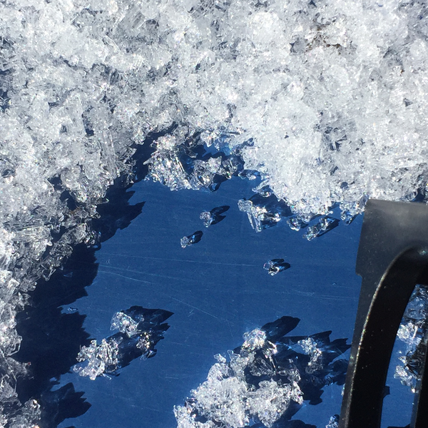
The facets in the photo above seemed to be not as sugary as during periods of cold temperatures. I suppose this is one up-side to the inverted conditions.
Today's Observed Danger Rating
Moderate
Tomorrows Estimated Danger Rating
Moderate
Coordinates