Observation Date
12/9/2018
Observer Name
Woody
Location Name or Route
Runwaway Cliff
Comments
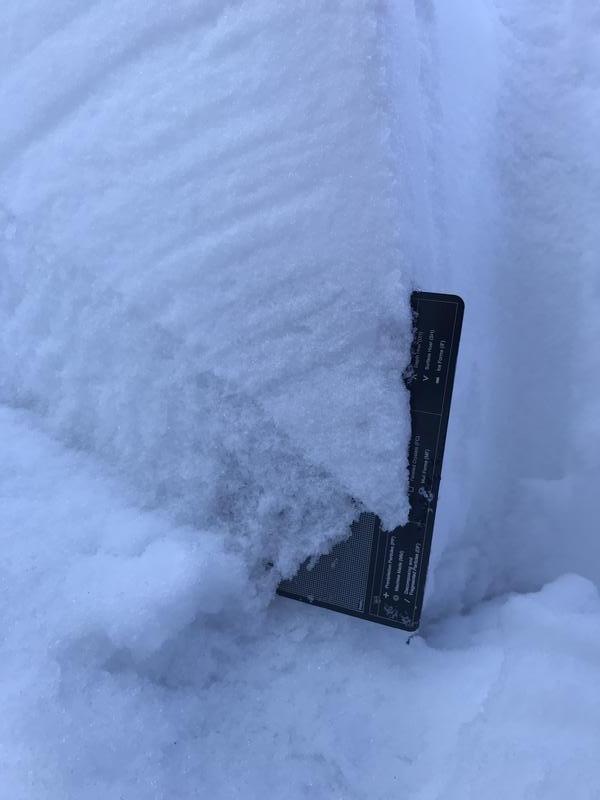
Found large SH developed on all aspects and elevations above 8000'. Old snow present from 8500' and higher. This old snow has become large sharp facets that are now supporting roughly a meter of consolidating snow above them. Southerly slopes above 8000' have a fair amount of snow on them, but the temps and sun are cooking them quickly, and I would expect to see strong MF and sun crust formed overnight. Low elevation and most of the mid elevations lacked the old snow, so everything on the ground at those elevations is just the post Nov 22 snow. This snow has settled out, and is very well bonded with little instability.

Today's Observed Danger Rating
None
Tomorrows Estimated Danger Rating
None


