Observation Date
11/23/2018
Observer Name
Ted Scroggin
Region
Uintas
Location Name or Route
Murdock Peak
Weather
Sky
Obscured
Precipitation
Moderate Snowfall
Wind Direction
Southwest
Wind Speed
Moderate
Weather Comments
Light to moderate snow showers throughout the day and brief periods of broken sky with some sunshine. Gusty ridge top winds-a day of changing weather and avalanche conditions.
Snow Characteristics
New Snow Depth
8"
New Snow Density
Medium
Snow Surface Conditions
Powder
Snow Characteristics Comments
Several inches of medium density snow overnight with winds which created some inverted upside down snow conditions in the Murdock area.
Red Flags
Red Flags
Wind Loading
Cracking
Collapsing
Poor Snowpack Structure
Red Flags Comments
A few red flags today with the new snow and gusty winds which fell on a variety of crusts and weak faceted snow. Some of these crusts will support some weight, but with forecasted heavy snow, wind and high snow water totals natural avalanches should be very likely.
Avalanche Problem #1
Problem
Persistent Weak Layer
Trend
Increasing Danger
Problem #1 Comments
A weak layer of sugary faceted snow is now buried under today's 5-8"of new snow and is quickly getting overloaded. I was experiencing cracking and collapsing today as the snowpack struggles to adjust to the weight. The avalanche danger should quickly rise with more snow and wind.
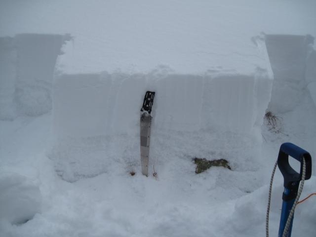
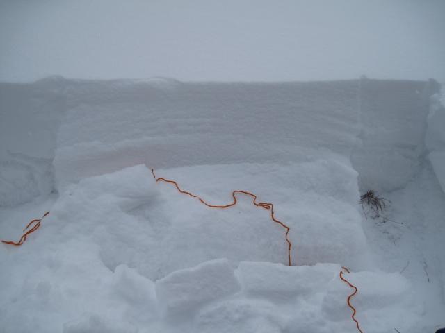
Comments
A quick snowpit shows the denser new snow sitting on the weak sugary snow below. I could not isolate a column as the weak snow below collapsed under the weight.
Video
Today's Observed Danger Rating
Considerable
Tomorrows Estimated Danger Rating
High
Coordinates