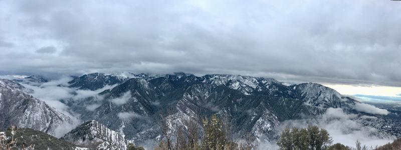
Traveled up Grandeur Pk. to see what coverage and quality of this first storm's snow and how it would act as much of the area's base layer as we approach Saturday's precip. Also a good comparison to what I saw in upper LCC this morning.
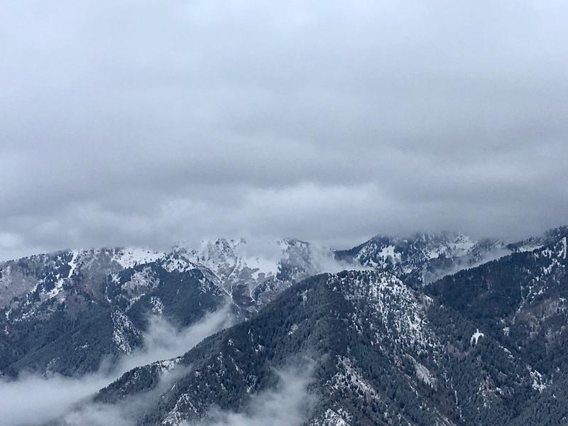
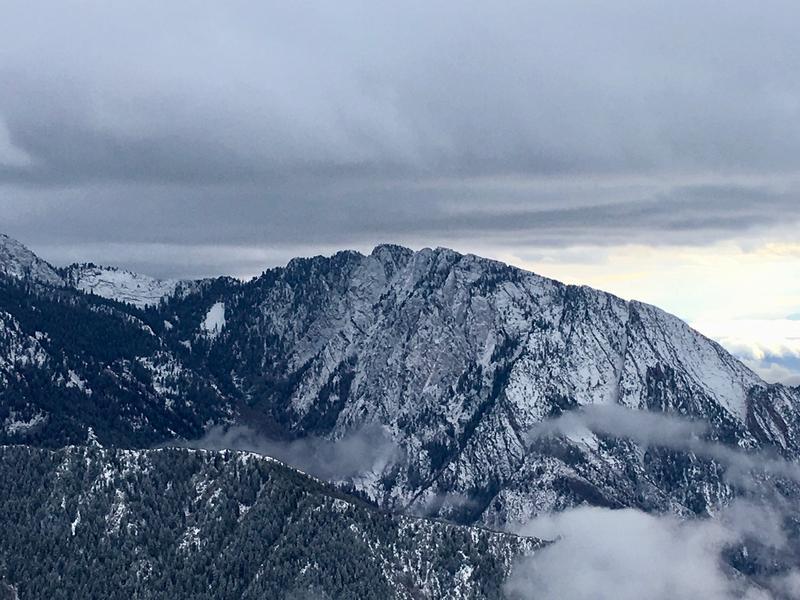
The top of Grandeur (8,300') had 3-4" of medium density snow across the top that fell onto dirt/rock. Looking to the South it was difficult to tell what old snow had lingered in the Gobbler's/Porter Fork area but the coverage (pic below) is still minimal. Mt. Olympus/Neff's too (pic below) had been largely bare prior to this but both areas have potential in higher, North-facing terrain to have sections of faceted old snow under this initial new layer.
Compared to upper Little Cottonwood:
-This morning's first 2-3" in LCC came in with strong gusting Southerly winds (>80 mph at 11,000') before they shifted Westerly. This created small wind drifts above 9,000' that were easily triggered to cracking with skis. I imagine this has helped load North-facing start zones that had held old weak snow. The snow on Grandeur had little evidence of wind.
-Winds shifted Westerly in LCC by 1300 but maintained moderate speeds while additional snow fell. It will be interesting to see how cohesive of a slab this created on top of old faceted snow and what terrain has run already. Grandeur had very light wind throughout the afternoon.