
Observation Date
11/11/2018
Observer Name
Evelyn
Region
Salt Lake
Location Name or Route
Point Supreme

It's complicated...most of it due to the October rain crust. The snow soaking rain event created an icy crust on shady slopes that were holding snow. The crust is now buried by several small storms, and varies with elevation, and somewhat with aspect and how sheltered the slope is. The above diagram shows 3 very basic snowpack profiles, by elevation, but there is lots of variation out there.
Upper elevations: the crust is thinner, and breaking down. Perhaps it will completely facet away and disappear, simplifying the snow structure to all facets.
Mid elevations: the crust is still stout, with faceted snow above and below. This thicker crust looks to be around for a while.
Lower-mid elevations: the crust is sitting on the ground in places, with loose faceting snow on top.
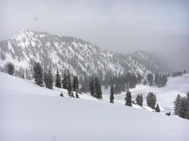
Looking into Dry Fork at snow coverage. It will be important to keep track of which slopes melt back down to the ground, hopefully on the sunny southeast through westerly facing slopes. Turning conditions were good up high, on grassy, lower angle slopes. But certainly hit some rocks at all elevations.
Today's Observed Danger Rating
Low
Tomorrows Estimated Danger Rating
Low
Coordinates


