32nd Annual Backcountry Benefit- Get Your Ticket Now!

Observation: Deseret Peak

Observation Date
4/26/2018
Observer Name
Doug Tolman
Region
Salt Lake » Deseret Peak
Location Name or Route
Deseret Peak
Weather
Sky
Clear
Wind Direction
Northwest
Wind Speed
Light
Weather Comments
Just above freezing in the AM, moderate warming to the mid 40's by PM
Snow Characteristics
Snow Surface Conditions
Melt-Freeze Crust
Snow Characteristics Comments
Shaded spots at higher elevations were still very firm at around 10am, sunny spots at mid elevations experienced moderate warming for good corn on the apron. A decent amount of frozen wet slide debris in the couloir made some spots extra fun.
Red Flags
Red Flags
Rapid Warming
Avalanche Problem #1
Problem
Wet Snow
Trend
Increasing Danger
Problem #1 Comments
The Twin Couloirs and their shared apron are flanked by large cliffbands with moderate wet slide/rockfall danger. Was expecting to see more carnage, it's starting but not much yet.
Avalanche Problem #2
Problem
Gliding Snow
Problem #2 Comments
Noticed 1 glide avalanche about to release near the peak, likely more lurking.
Comments
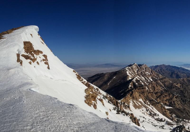
Posting this so that anyone interested in heading out west knows what they are in for. Right now is the perfect time to ski here, Skiable snowline was at about 8500', and the road is open all the way to the top which made for only about 1 or 2 miles of walking on the exit. Streams are currently empty so no stream crossings either. Snow was so firm on the 5am approach that it was easier to hike and bootpack on than it was to skin for the majority of the way. 
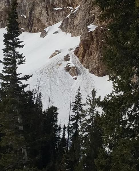
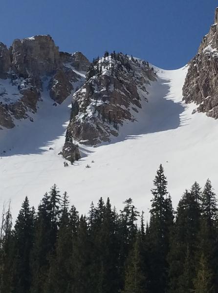
Be wary of the wet loose/glide damage on the cliffs above the couloir.In the first photo you can see a glide avalanche about to drop off a 500 foot cliff right into the cirque.
Today's Observed Danger Rating
Low
Tomorrows Estimated Danger Rating
Low
Coordinates